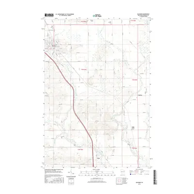
2015 Map of Bloomer
USGS Topo · Published 2015About this map
Bloomer sits at the head of a complex drainage network where Lake Como feeds into Duncan Creek, which carves a southward path across the landscape toward the Tilden area. This 2015 snapshot shows a region defined by agricultural grids and small rural centers like Eagleton and Eagle Point. The map is particularly useful for genealogists, as it preserves the locations of several burial grounds, including the Tilden Cem, O'Neil Creek Cem, and Saint Catherine Cem.
Find a feature on this map
89 named features on this map. Tap any name to fly to it.
Don’t see what you’re looking for? This feature index may not catch every label — zoom into the map to look around manually.
Map Details
Editions of this 2015 Bloomer Map
This is the sole edition of this map. No revisions or reprints were ever made.
Other maps of this area

1934 · Elk Mound
USGS Topo · 1:62,500

1934 · Chippewa Falls
USGS Topo · 1:62,500

1936 · Chippewa Falls
USGS Topo · 1:62,500

1936 · Elk Mound
USGS Topo · 1:62,500

1949 · Bloomer
USGS Topo · 1:62,500

1949 · New Auburn
USGS Topo · 1:62,500

1951 · Bloomer
USGS Topo · 1:62,500

1951 · New Auburn
USGS Topo · 1:62,500

1953 · Eau Claire
USGS Topo · 1:250,000

1953 · Rice Lake
USGS Topo · 1:250,000