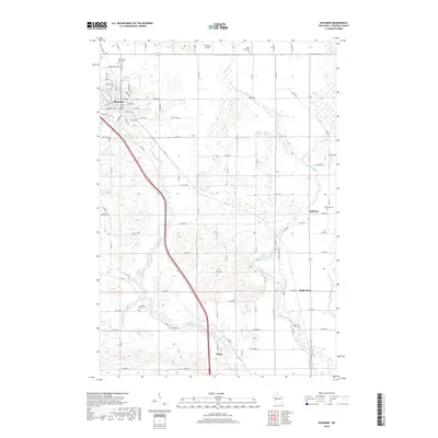
2018 Map of Bloomer
USGS Topo · Published 2018About this map
Bloomer serves as the primary hub of this landscape, situated at the headwaters of Duncan Creek and surrounded by a network of rural settlements including Eagleton, Eagle Point, and Tilden. The terrain is defined by its hydrology, where small waterways like McCann Cr and O'Neil Creek carve through the agricultural countryside. For those researching family history in Chippewa County, the map provides precise locations for several distinct burial grounds, such as North Saint Paul Cem, Saint Catherine Cem, and the Evangelical Cem. In addition to the urban grid of Bloomer, the map details a vast network of county roads and avenues that connect the outlying farmsteads and landmarks like the Gateway Airport.
Find a feature on this map
85 named features on this map. Tap any name to fly to it.
Don’t see what you’re looking for? This feature index may not catch every label — zoom into the map to look around manually.
Map Details
Editions of this 2018 Bloomer Map
This is the sole edition of this map. No revisions or reprints were ever made.
Other maps of this area

1934 · Elk Mound
USGS Topo · 1:62,500

1934 · Chippewa Falls
USGS Topo · 1:62,500

1936 · Chippewa Falls
USGS Topo · 1:62,500

1936 · Elk Mound
USGS Topo · 1:62,500

1949 · Bloomer
USGS Topo · 1:62,500

1949 · New Auburn
USGS Topo · 1:62,500

1951 · Bloomer
USGS Topo · 1:62,500

1951 · New Auburn
USGS Topo · 1:62,500

1953 · Eau Claire
USGS Topo · 1:250,000

1953 · Rice Lake
USGS Topo · 1:250,000