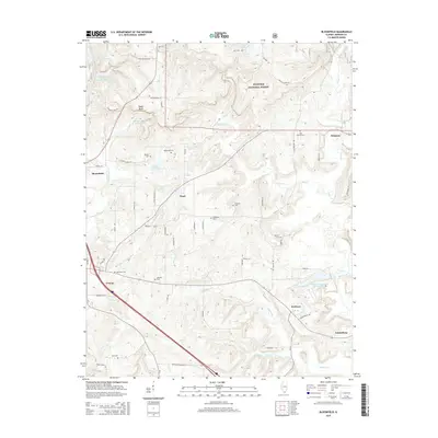
2015 Map of Bloomfield
USGS Topo · Published 2015About this map
The northern edge of Shawnee National Forest characterizes the rugged terrain north of Vienna, where high points like Taylor Bluff overlook a landscape carved by Max Cr and Little Cache Cr. The map reveals a dense network of country roads and family-named landmarks that connect small rural settlements such as Bloomfield, Pond, Wartrace, and Simpson. Genealogists will find this particular survey highly useful for its precise location of numerous small burial grounds, including the Odd Fellows Cem, Ledbetter Cem, and Whiteside Cem. Water management is prominent throughout the region, with Vienna City Lake and the Vienna Correctional Center Lake serving as significant local reservoirs. Along the northern border, the River to River Trl winds through the forest, marking a historic route for outdoor recreation and transit between the region's major watersheds.
Find a feature on this map
60 named features on this map. Tap any name to fly to it.
Don’t see what you’re looking for? This feature index may not catch every label — zoom into the map to look around manually.
Map Details
Editions of this 2015 Bloomfield Map
This is the sole edition of this map. No revisions or reprints were ever made.
Other maps of this area

1917 · Brownfield
USGS Topo · 1:62,500

1918 · Vienna
USGS Topo · 1:62,500

1919 · Vienna
USGS Topo · 1:62,500

1925 · Marion
USGS Topo · 1:62,500

1925 · Harrisburg
USGS Topo · 1:62,500

1939 · Harrisburg
USGS Topo · 1:62,500

1940 · Marion
USGS Topo · 1:62,500

1942 · Vienna
USGS Topo · 1:62,500

1949 · Paducah
USGS Topo · 1:250,000

1950 · Paducah
USGS Topo · 1:250,000