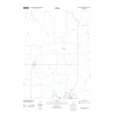
2013 Map of Bloomfield North
USGS Topo · Published 2013About this map
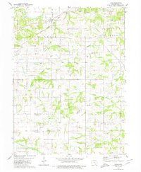
Bloomfield serves as the focal point of this Davis County landscape, situated just south of the Davis County Fairgrounds and the Bloomfield Speedway. The terrain is defined by a dense network of waterways, including the winding course of the Fox River and several significant tributaries such as Chequest Cr and Soap Cr. These streams dictate the positioning of rural roads and the small settlements of Belknap and Drakesville, which are connected by a grid of numbered streets and family-named thoroughfares like Mink Blvd and Nuthatch Ave. Near the southern edge of the map, Lake Fisher provides a substantial water feature adjacent to the county seat. This 2013 survey illustrates a modern rural Iowa county where transportation corridors, like Floris Rd, follow the natural drainage patterns established by the local creek systems.
Find a feature on this map
79 named features on this map. Tap any name to fly to it.
Don’t see what you’re looking for? This feature index may not catch every label — zoom into the map to look around manually.
Map Details
Editions of this 2013 Bloomfield North Map
This is the sole edition of this map. No revisions or reprints were ever made.
Other maps of this area

1954 · Centerville
USGS Topo · 1:250,000

1956 · Agency
USGS Topo · 1:24,000

1956 · Ottumwa South
USGS Topo · 1:24,000

1956 · Ottumwa South
USGS Topo · 1:62,500

1957 · Centerville
USGS Topo · 1:250,000

1958 · Centerville
USGS Topo · 1:250,000
1968 · Blakesburg NE
USGS Topo · 1:24,000
1968 · Paris
USGS Topo · 1:24,000
1979 · West Grove
USGS Topo · 1:24,000
1979 · Floris
USGS Topo · 1:24,000