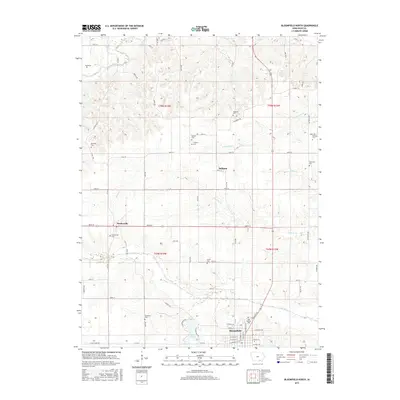
2015 Map of Bloomfield North
USGS Topo · Published 2015About this map
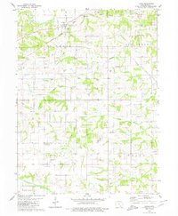
The Fox River and its meandering tributaries dominate the rural landscape of Davis County in this 2015 survey. Centered on the northern outskirts of Bloomfield, the map reveals a countryside defined by small agricultural settlements and a high density of family and fraternal burial grounds. To the west, the community of Drakesville sits near the Drakesville Cem, while the small hamlet of Belknap is positioned to the east near Butter Cr.
Find a feature on this map
77 named features on this map. Tap any name to fly to it.
Don’t see what you’re looking for? This feature index may not catch every label — zoom into the map to look around manually.
Map Details
Editions of this 2015 Bloomfield North Map
This is the sole edition of this map. No revisions or reprints were ever made.
Other maps of this area

1954 · Centerville
USGS Topo · 1:250,000

1956 · Agency
USGS Topo · 1:24,000

1956 · Ottumwa South
USGS Topo · 1:24,000

1956 · Ottumwa South
USGS Topo · 1:62,500

1957 · Centerville
USGS Topo · 1:250,000

1958 · Centerville
USGS Topo · 1:250,000
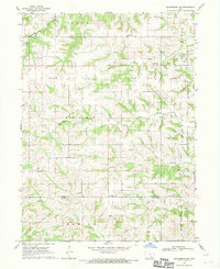
1968 · Blakesburg NE
USGS Topo · 1:24,000
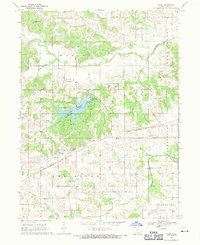
1968 · Paris
USGS Topo · 1:24,000
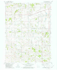
1979 · West Grove
USGS Topo · 1:24,000
1979 · Floris
USGS Topo · 1:24,000