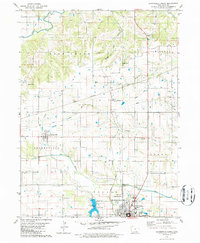
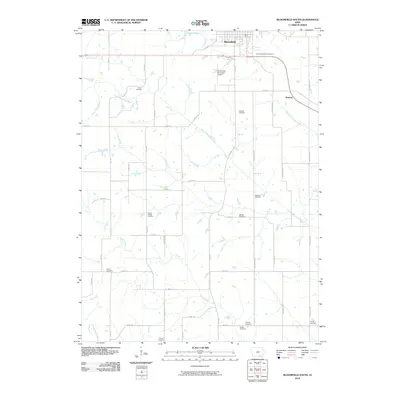
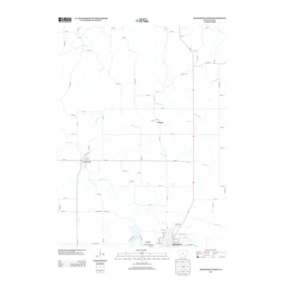
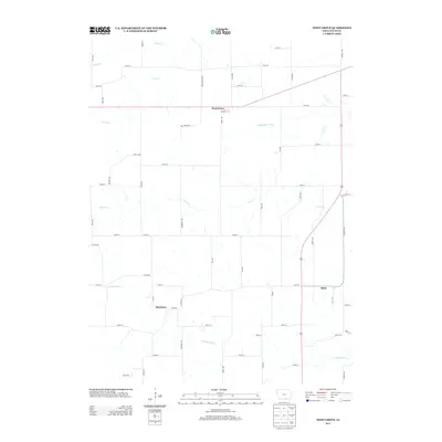
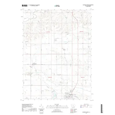
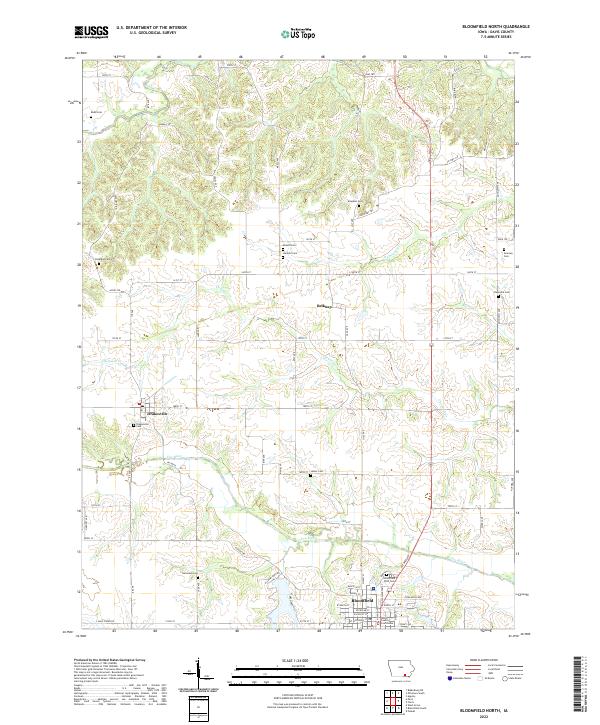
1980 Map of Bloomfield North
USGS Topo · Published 1986About this map
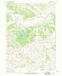
Bloomfield serves as the focal point of this northern Davis County landscape, situated at the junction where the Norfolk And Western Railroad and the Chicago Rock Island And Pacific Railroad intersect. The town's local infrastructure is well-defined, featuring a High Sch, Middle Sch, and the Odd Fellows Cem on the eastern edge. To the west, Lake Fisher Park and its associated Lake Fisher reservoir reflect mid-century efforts to manage local water resources, supported by a Filtration Plant and nearby Pumping Station.
Find a feature on this map
34 named features on this map. Tap any name to fly to it.
Don’t see what you’re looking for? This feature index may not catch every label — zoom into the map to look around manually.
Map Details
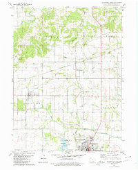
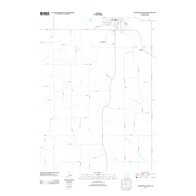
Editions of this 1980 Bloomfield North Map
2 editions found
Historical Maps of Bloomfield Through Time
31 maps found
1956 Ottumwa South
Davis County, IA
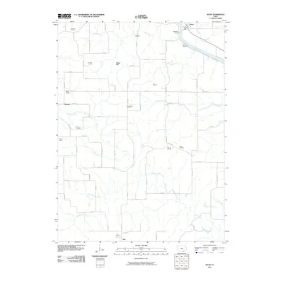
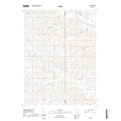
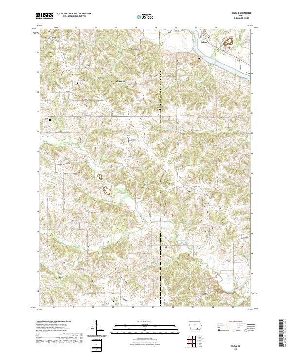
1965 Selma
Davis County, IA
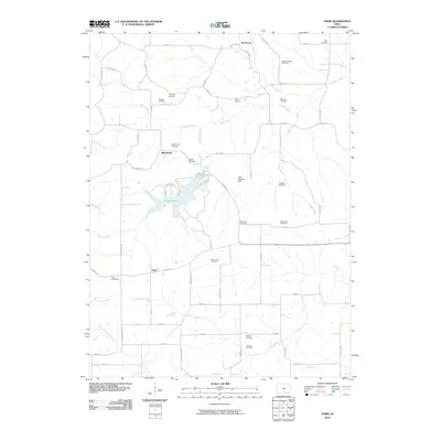
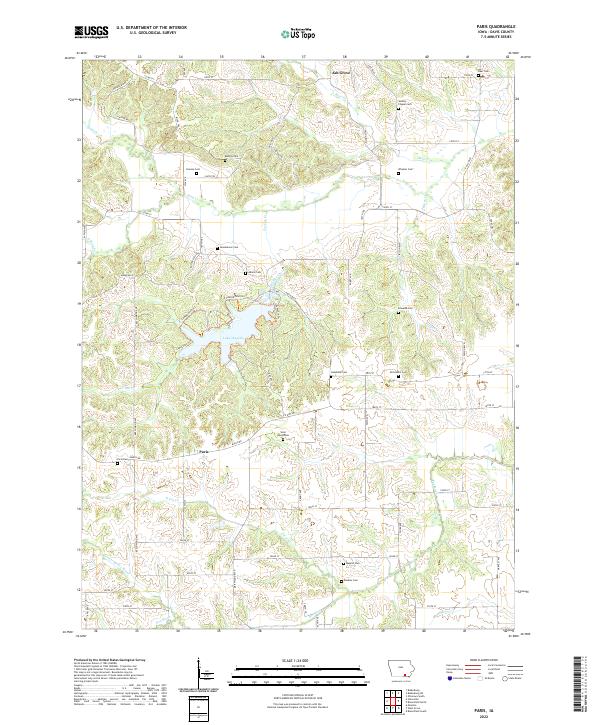
1968 Paris
Davis County, IA
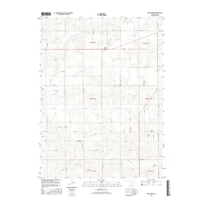
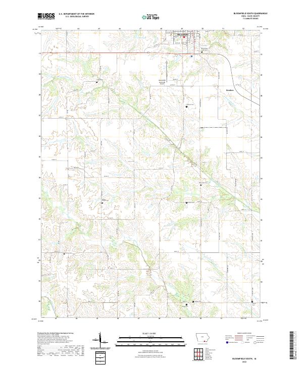
1979 Bloomfield South
Davis County, IA
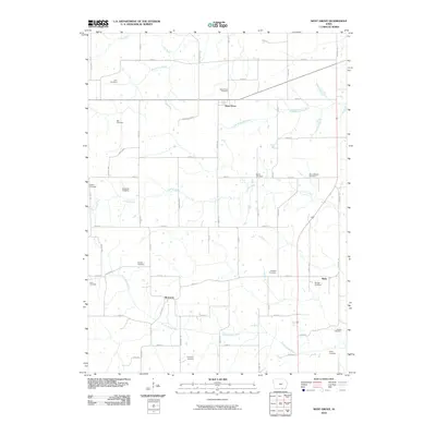
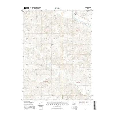
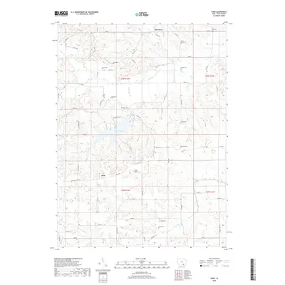
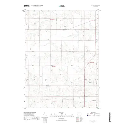
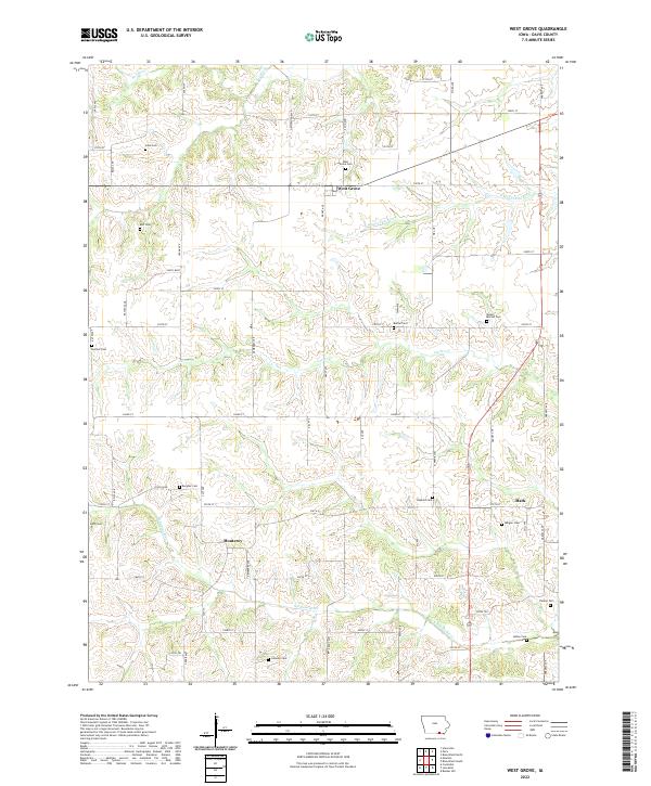
1979 West Grove
Davis County, IA
1980 Bloomfield North
Davis County, IA
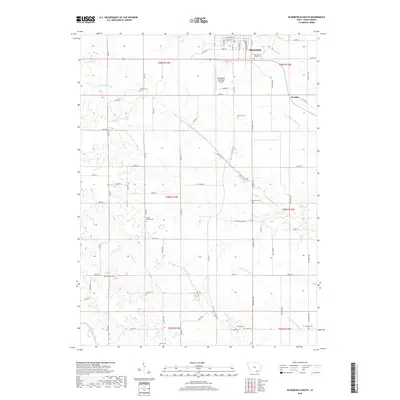
2010 Bloomfield North
Davis County, IA
2010 Bloomfield South
Davis County, IA
2010 Paris
Davis County, IA
2010 Selma
Davis County, IA
2010 West Grove
Davis County, IA
2013 Bloomfield North
Davis County, IA
2013 Bloomfield South
Davis County, IA
2013 Paris
Davis County, IA
2013 Selma
Davis County, IA
2013 West Grove
Davis County, IA
2015 Bloomfield North
Davis County, IA
2015 Bloomfield South
Davis County, IA
2015 Paris
Davis County, IA
2015 Selma
Davis County, IA
2015 West Grove
Davis County, IA
2018 Bloomfield North
Davis County, IA
2018 Bloomfield South
Davis County, IA
2018 Paris
Davis County, IA
2018 Selma
Davis County, IA
2018 West Grove
Davis County, IA
2022 Bloomfield North
Davis County, IA
2022 Bloomfield South
Davis County, IA
2022 Paris
Davis County, IA
2022 Selma
Davis County, IA
2022 West Grove
Davis County, IA