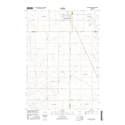
2016 Map of Blooming Prairie
USGS Topo · Published 2016About this map
Blooming Prairie serves as the primary hub on this 2016 survey, situated at the junction of several county roads and highways in a landscape heavily defined by agricultural drainage and natural watercourses. The town's grid is detailed with a Po and primary thoroughfares like Main St W. The surrounding countryside reveals a persistent network of small cemeteries that mark early settlement patterns, including First Lutheran Cem to the northeast and Red Oak Grove Cem near the center of the sheet. The terrain is drained by the Cedar River and Deer Cr, with man-made interventions such as Magnuson Ditch illustrating the long-standing management of the local watershed for farming. This map provides a clear record of the intersection between Steele, Dodge, Freeborn, and Mower counties, where rural life remains anchored by these small communities and their land-use history.
Find a feature on this map
44 named features on this map. Tap any name to fly to it.
Don’t see what you’re looking for? This feature index may not catch every label — zoom into the map to look around manually.
Map Details
Editions of this 2016 Blooming Prairie Map
This is the sole edition of this map. No revisions or reprints were ever made.
Other maps of this area

1954 · Hayward
USGS Topo · 1:62,500

1954 · Austin
USGS Topo · 1:62,500

1954 · Mason City
USGS Topo · 1:250,000

1957 · Mason City
USGS Topo · 1:250,000

1958 · Mason City
USGS Topo · 1:250,000

1966 · Waltham
USGS Topo · 1:24,000

1966 · Hayfield NW
USGS Topo · 1:24,000

1967 · Steele Center
USGS Topo · 1:24,000

1967 · Bixby
USGS Topo · 1:24,000

1967 · Blooming Prairie
USGS Topo · 1:24,000