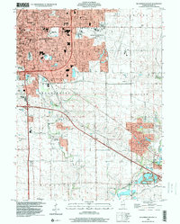
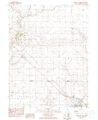
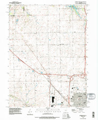
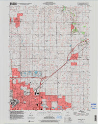
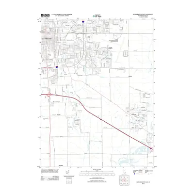
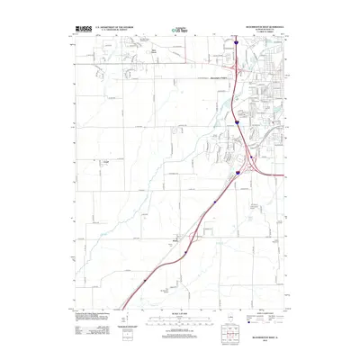
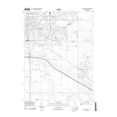
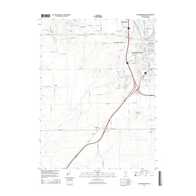
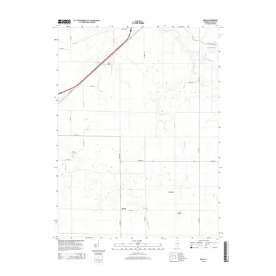
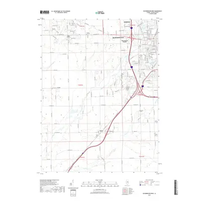
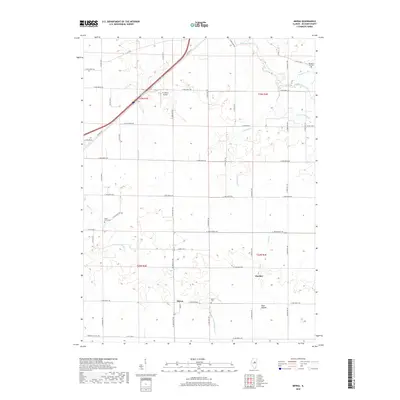
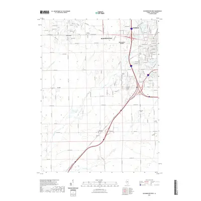
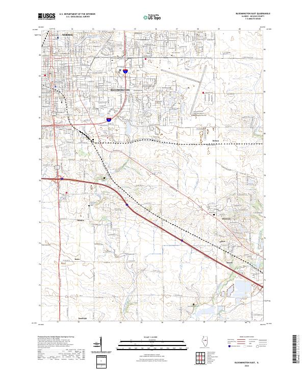
1998 Map of Bloomington East
USGS Topo · Published 2000About this map
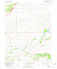
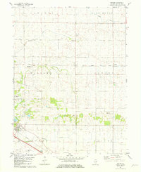
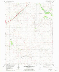
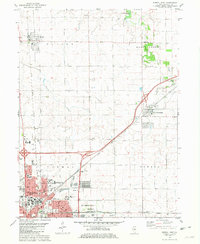
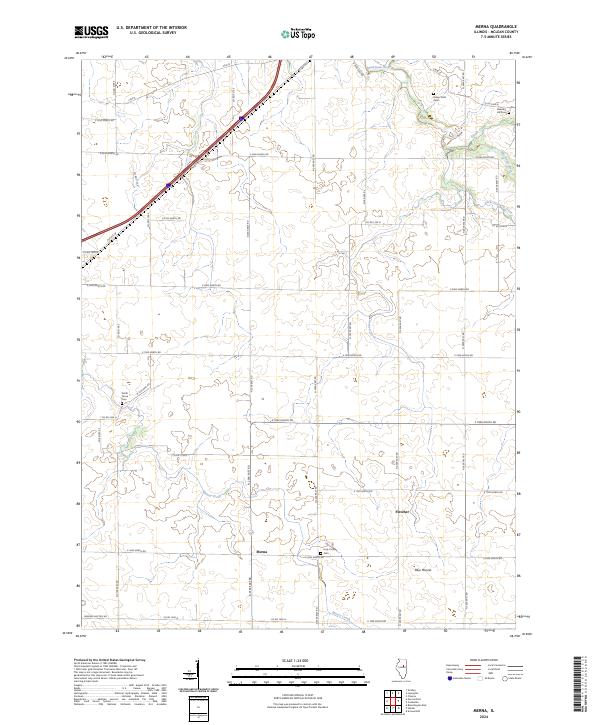
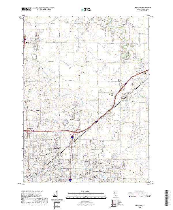
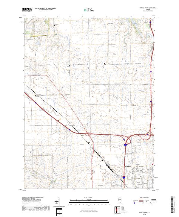
Bloomington and Normal anchor the northwestern corner of this study, reflecting the late 20th-century footprint of these twin cities. Beyond the urban grid of Illinois Wesleyan University and several hospitals, the landscape transitions into a patchwork of country clubs and cemeteries that define the city limits. Significant landmarks such as the Bloomington-Normal Airport and the County Fairground highlight the regional importance of this McLean County hub. To the southeast, the terrain shifts toward more rural townships like Old Town and Downs, where the meandering courses of Kickapoo Creek and Little Kickapoo Creek dominate the topography. Small rail-side communities like Gillum and Hendrix are preserved here, alongside numerous rural burial grounds including Bishop Cemetery and Diamond Grove Cemetery, offering valuable data for genealogical research into the area's agricultural heritage.
Find a feature on this map
52 named features on this map. Tap any name to fly to it.
Don’t see what you’re looking for? This feature index may not catch every label — zoom into the map to look around manually.
Map Details
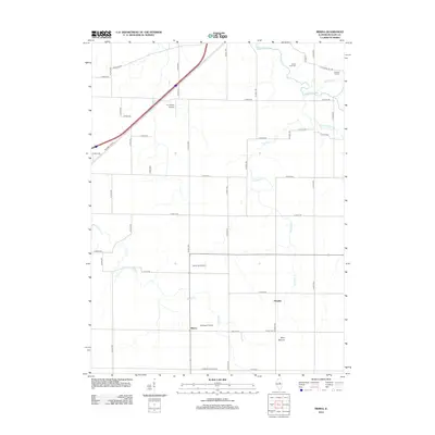
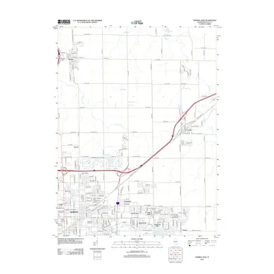
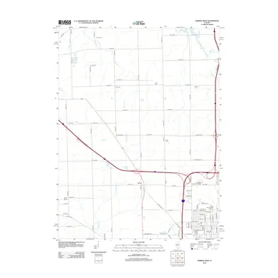
Editions of this 1998 Bloomington East Map
This is the sole edition of this map. No revisions or reprints were ever made.
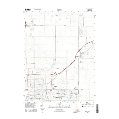
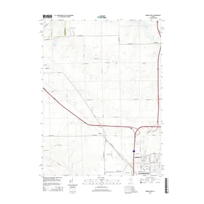
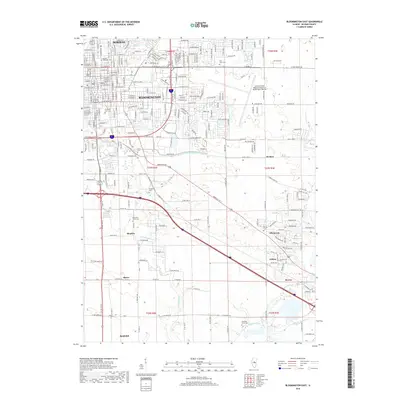
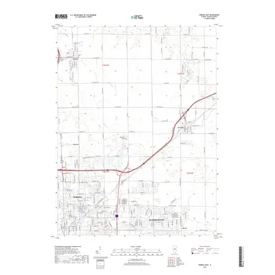
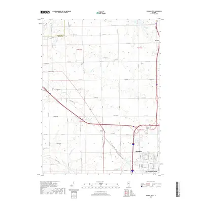
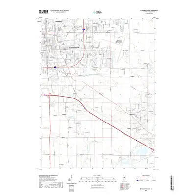
Historical Maps of Bloomington Through Time
52 maps found

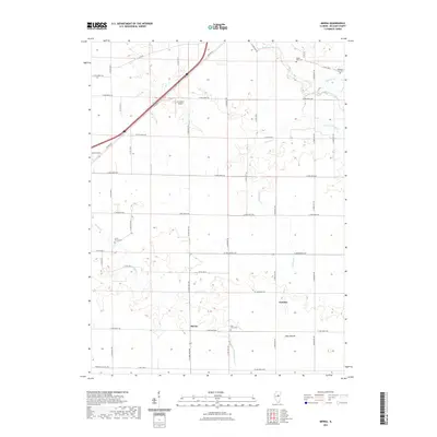
1949 Mc Lean
McLean County, IL
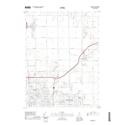
1970 Normal West
McLean County, IL
1981 Bloomington East
McLean County, IL
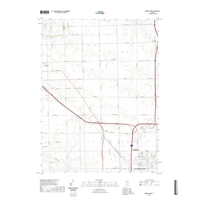
1981 Bloomington West
McLean County, IL
1981 Funks Grove
McLean County, IL
1981 Holder
McLean County, IL
1981 Merna
McLean County, IL
1981 Normal East
McLean County, IL
1983 Farmer City North
McLean County, IL
1995 Normal West
McLean County, IL
1998 Bloomington East
McLean County, IL
1998 Normal East
McLean County, IL
2012 Bloomington East
McLean County, IL
2012 Bloomington West
McLean County, IL
2012 Farmer City North
McLean County, IL
2012 Funks Grove
McLean County, IL
2012 Holder
McLean County, IL
2012 Merna
McLean County, IL
2012 Normal East
McLean County, IL
2012 Normal West
McLean County, IL
2015 Bloomington East
McLean County, IL
2015 Bloomington West
McLean County, IL
2015 Farmer City North
McLean County, IL
2015 Funks Grove
McLean County, IL
2015 Holder
McLean County, IL
2015 Merna
McLean County, IL
2015 Normal East
McLean County, IL
2015 Normal West
McLean County, IL
2018 Bloomington East
McLean County, IL
2018 Bloomington West
McLean County, IL
2018 Farmer City North
McLean County, IL
2018 Funks Grove
McLean County, IL
2018 Holder
McLean County, IL
2018 Merna
McLean County, IL
2018 Normal East
McLean County, IL
2018 Normal West
McLean County, IL
2021 Bloomington East
McLean County, IL
2021 Bloomington West
McLean County, IL
2021 Farmer City North
McLean County, IL
2021 Funks Grove
McLean County, IL
2021 Holder
McLean County, IL
2021 Merna
McLean County, IL
2021 Normal East
McLean County, IL
2021 Normal West
McLean County, IL
2024 Bloomington East
McLean County, IL
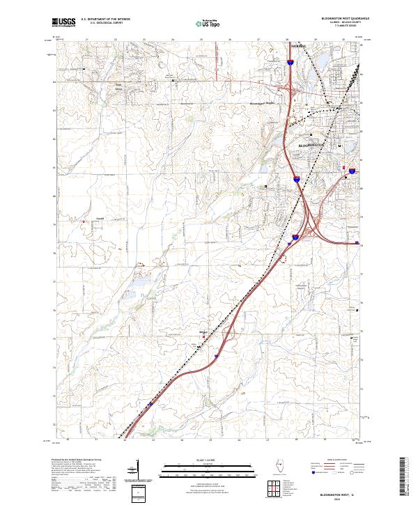
2024 Bloomington West
McLean County, IL
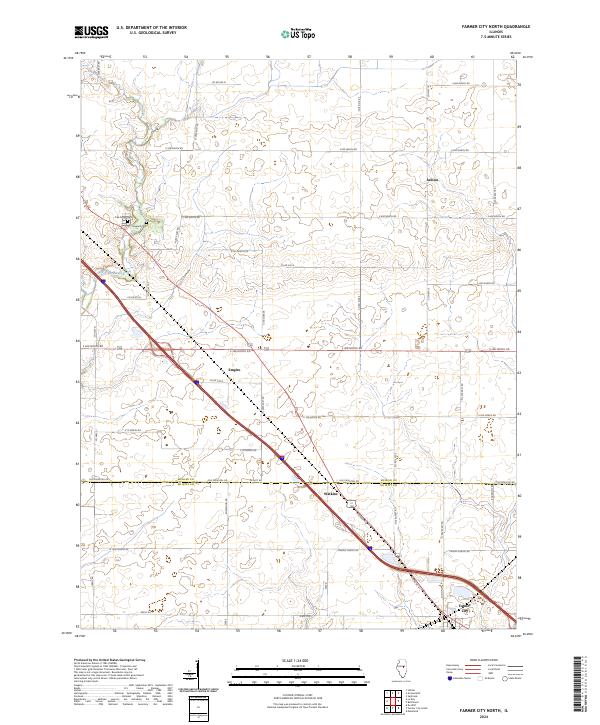
2024 Farmer City North
McLean County, IL
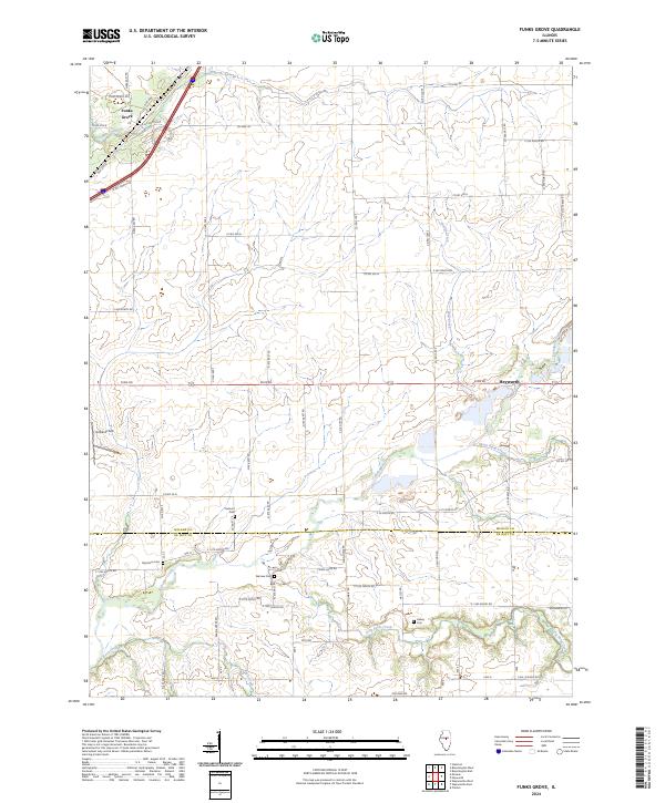
2024 Funks Grove
McLean County, IL
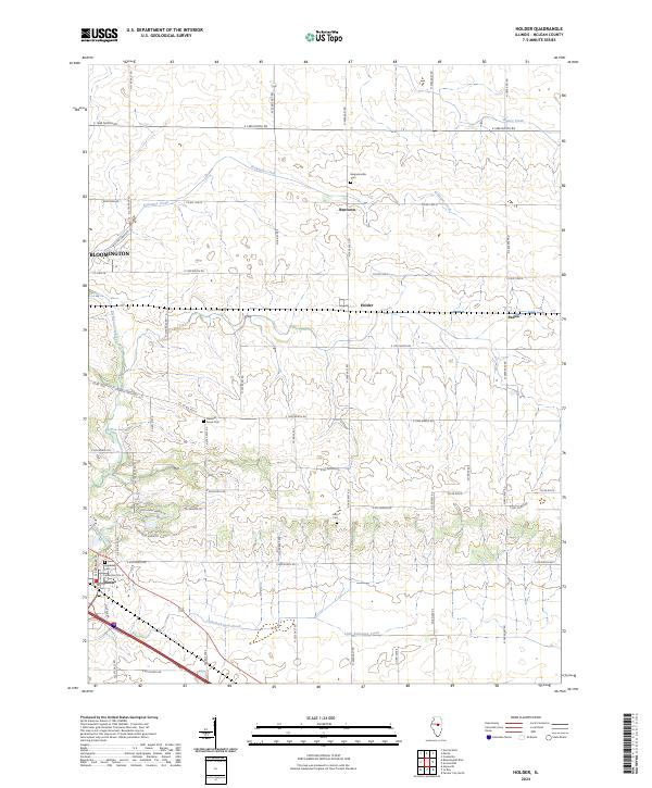
2024 Holder
McLean County, IL
2024 Merna
McLean County, IL
2024 Normal East
McLean County, IL
2024 Normal West
McLean County, IL