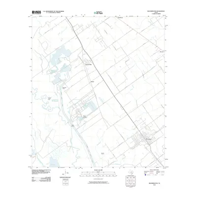
2010 Map of Bloomington
USGS Topo · Published 2010About this map
The Victoria Barge Canal defines the industrial and agricultural landscape of this coastal Texas region, cutting a precise path through the lowlands south of Victoria. The canal's infrastructure is prominent, featuring the Dupont Cooling Basin Dam and the nearby Dalton Bridge which spans the Guadalupe River. This waterway network, supported by the Lipscomb and Son Levee, manages the flow between natural bayous and industrial basins like the Pickering Basin.
Find a feature on this map
51 named features on this map. Tap any name to fly to it.
Don’t see what you’re looking for? This feature index may not catch every label — zoom into the map to look around manually.
Map Details
Editions of this 2010 Bloomington Map
This is the sole edition of this map. No revisions or reprints were ever made.
Other maps of this area

1951 · Bloomington
USGS Topo · 1:24,000

1952 · Bloomington SW
USGS Topo · 1:24,000

1952 · Marcado Creek
USGS Topo · 1:24,000

1952 · Placedo
USGS Topo · 1:24,000

1952 · Victoria East
USGS Topo · 1:24,000

1952 · Green Lake
USGS Topo · 1:24,000

1953 · Beeville
USGS Topo · 1:250,000

1956 · Beeville
USGS Topo · 1:250,000

1960 · Beeville
USGS Topo · 1:250,000

1962 · McFaddin
USGS Topo · 1:24,000