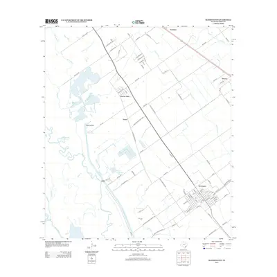
2013 Map of Bloomington
USGS Topo · Published 2013About this map
The Guadalupe River meanders through this landscape south of Victoria, defining a coastal prairie environment shaped by both historical hydrology and modern industrial utility. The intersection of the Victoria Barge Canal and various bayous, including Spring Bayou and Blue Bayou, illustrates the complex water management of the region. Near the settlement of Bloomington, the local infrastructure supports the expansive Dupont Cooling Basin, a significant industrial feature that contrasts with the surrounding agricultural land and natural basins like Pickering Basin.
Find a feature on this map
92 named features on this map. Tap any name to fly to it.
Don’t see what you’re looking for? This feature index may not catch every label — zoom into the map to look around manually.
Map Details
Editions of this 2013 Bloomington Map
This is the sole edition of this map. No revisions or reprints were ever made.
Other maps of this area

1951 · Bloomington
USGS Topo · 1:24,000

1952 · Bloomington SW
USGS Topo · 1:24,000

1952 · Marcado Creek
USGS Topo · 1:24,000

1952 · Placedo
USGS Topo · 1:24,000

1952 · Victoria East
USGS Topo · 1:24,000

1952 · Green Lake
USGS Topo · 1:24,000

1953 · Beeville
USGS Topo · 1:250,000

1956 · Beeville
USGS Topo · 1:250,000

1960 · Beeville
USGS Topo · 1:250,000

1962 · McFaddin
USGS Topo · 1:24,000