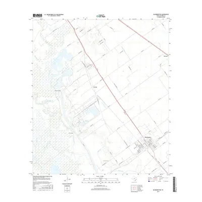
2016 Map of Bloomington
USGS Topo · Published 2016About this map
The Guadalupe River snakes through this coastal prairie landscape, defining a complex network of wetlands and bayous south of Victoria. Significant industrial and agricultural water management is evident in the presence of the Dupont Cooling Basin and the Lipscomb and Son Reservoir. The settlement of Bloomington serves as the primary population center, laid out in a grid pattern and surrounded by vast drainage features like Black Bayou and Blue Bayou.
Find a feature on this map
82 named features on this map. Tap any name to fly to it.
Don’t see what you’re looking for? This feature index may not catch every label — zoom into the map to look around manually.
Map Details
Editions of this 2016 Bloomington Map
This is the sole edition of this map. No revisions or reprints were ever made.
Other maps of this area

1951 · Bloomington
USGS Topo · 1:24,000

1952 · Bloomington SW
USGS Topo · 1:24,000

1952 · Marcado Creek
USGS Topo · 1:24,000

1952 · Placedo
USGS Topo · 1:24,000

1952 · Victoria East
USGS Topo · 1:24,000

1952 · Green Lake
USGS Topo · 1:24,000

1953 · Beeville
USGS Topo · 1:250,000

1956 · Beeville
USGS Topo · 1:250,000

1960 · Beeville
USGS Topo · 1:250,000

1962 · McFaddin
USGS Topo · 1:24,000