
1947 Map of Bloomsburg
USGS Topo · Published 1947About this map
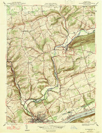
Bloomsburg serves as the focal point of this mid-century survey, situated at the confluence of Fishing Creek and the Susquehanna River. The town's educational and industrial character is anchored by the State Teachers College and a prominent Paper Mill south of Light Street. Transport infrastructure is dense along the river valley, where the Delaware Lackawanna and Western and Reading railroads parallel the water, connecting settlements like Fernville, Espy, and Almedia. To the north, the landscape rises into Mount Pleasant and Knob Mountain, where a rural network of family-named landmarks and institutions emerges. Local genealogists will find value in the specific locations of Hidlay Ch, Mc Henry Cem, and several district schools such as Neyhart Sch and Savage Hill Sch, which dot the ridges and valleys beyond Orangeville.
Find a feature on this map
41 named features on this map. Tap any name to fly to it.
Don’t see what you’re looking for? This feature index may not catch every label — zoom into the map to look around manually.
Map Details
Editions of this 1947 Bloomsburg Map
2 editions found
Other maps of this area

1889 · Catawissa
USGS Topo · 1:62,500

1892 · Catawissa
USGS Topo · 1:62,500

1892 · Shamokin
USGS Topo · 1:62,500

1893 · Shamokin
USGS Topo · 1:62,500

1894 · Catawissa
USGS Topo · 1:62,500

1894 · Bloomsburg
USGS Topo · 1:62,500

1935 · Hughesville
USGS Topo · 1:62,500

1943 · Shamokin
USGS Topo · 1:62,500

1947 · Stillwater
USGS Topo · 1:24,000
1947 · Mifflinville
USGS Topo · 1:24,000
Featured Places
- Bloomsburg, PA
- Greenwood Township, PA
- North Centre Township, PA
- Lightstreet, Scott Township
- Orangeville, PA