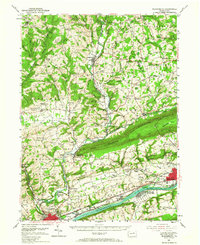
1954 Map of Bloomsburg
USGS Topo · Published 1967About this map
Knob Mountain and Lee Mountain dominate the central topography of this mid-century survey, creating a dramatic corridor for the Reading RR and the winding course of Fishing Creek. The northern reaches of Columbia County are dotted with small agricultural settlements and rural social centers like Coles Creek and New Columbus, while the southern border follows the industrial and academic hub along the Susquehanna River. Educational and civic foundations are prominent, notably the State Teachers College in the southwest and the Columbia County Home.
Find a feature on this map
118 named features on this map. Tap any name to fly to it.
Don’t see what you’re looking for? This feature index may not catch every label — zoom into the map to look around manually.
Map Details
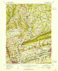
Editions of this 1954 Bloomsburg Map
2 editions found
Other maps of this area

1889 · Catawissa
USGS Topo · 1:62,500

1891 · Harveys Lake
USGS Topo · 1:62,500

1892 · Catawissa
USGS Topo · 1:62,500

1892 · Shamokin
USGS Topo · 1:62,500

1892 · Mahanoy
USGS Topo · 1:62,500

1893 · Harvey Lake
USGS Topo · 1:62,500

1893 · Shamokin
USGS Topo · 1:62,500

1893 · Mahanoy
USGS Topo · 1:62,500

1894 · Catawissa
USGS Topo · 1:62,500

1894 · Shickshinny
USGS Topo · 1:62,500