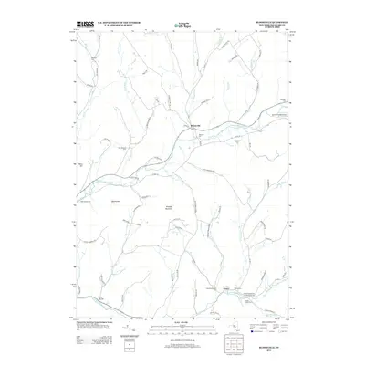
2013 Map of Bloomville
USGS Topo · Published 2013About this map
Bloomville and Bovina Center anchor this 2013 topographic study of the Catskill region, where the West Br Delaware River and the Little Delaware River carve their way through the highlands. The map provides a detailed view of the valley's rural character, characterized by family-run operations such as Maple Shade Farm, Byebrook Farm, and Bramley Mountain Farm. These agricultural sites are connected by a network of winding roads like Co Hwy-18 and Co Hwy-33, tracing the contours of Bramley Mountain and Betts Hill.
Find a feature on this map
79 named features on this map. Tap any name to fly to it.
Don’t see what you’re looking for? This feature index may not catch every label — zoom into the map to look around manually.
Map Details
Editions of this 2013 Bloomville Map
This is the sole edition of this map. No revisions or reprints were ever made.
Other maps of this area

1901 · Margaretville
USGS Topo · 1:62,500

1904 · Hobart
USGS Topo · 1:62,500

1904 · Margaretville
USGS Topo · 1:62,500

1909 · Delhi
USGS Topo · 1:62,500

1911 · Delhi
USGS Topo · 1:62,500

1922 · Andes
USGS Topo · 1:62,500

1924 · Andes
USGS Topo · 1:62,500

1943 · Delhi
USGS Topo · 1:24,000

1943 · Bloomville
USGS Topo · 1:24,000
1943 · West Davenport
USGS Topo · 1:24,000