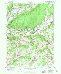
1943 Map of West Davenport
USGS Topo · Published 1960About this map
Susquehanna River valley life in the early 1940s is defined by the intersection of rail networks and rural school districts across the hills of Delaware and Otsego Counties. The Delaware and Hudson railroad tracks cut through Colliersville and Cooperstown Junction, while the New York Central line parallels Charlotte Creek through the Davenport Valley. This survey captures a specific network of one-room schoolhouses, including School No 12, School No 14, and the Prosser Hollow Sch, that served families in the upland hollows between South Mountain and Webb Hill. Local genealogy is anchored by the McMinn Cem and Charlotte Valley Cem, while the agrarian character of the landscape is punctuated by a lone Mine and settlements like East Meredith and Shackport situated along the winding Ouleout Creek.
Find a feature on this map
41 named features on this map. Tap any name to fly to it.
Don’t see what you’re looking for? This feature index may not catch every label — zoom into the map to look around manually.
Map Details
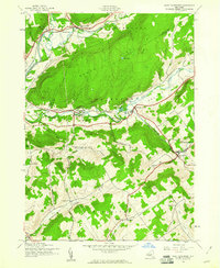
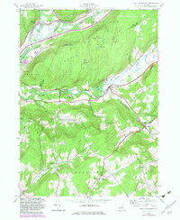
Editions of this 1943 West Davenport Map
3 editions found
Other maps of this area

1907 · Cooperstown
USGS Topo · 1:62,500

1909 · Cooperstown
USGS Topo · 1:62,500

1909 · Delhi
USGS Topo · 1:62,500

1910 · Hartwick
USGS Topo · 1:62,500

1911 · Delhi
USGS Topo · 1:62,500

1912 · Hartwick
USGS Topo · 1:62,500

1915 · Oneonta
USGS Topo · 1:62,500

1918 · Oneonta
USGS Topo · 1:62,500

1943 · Delhi
USGS Topo · 1:24,000

1943 · Mt Vision
USGS Topo · 1:24,000