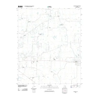
2010 Map of Blossom
USGS Topo · Published 2010About this map
Blossom and Reno anchor the rail and road corridor east of Paris in this survey of Lamar County's agrarian and aviation landscape. The influence of the railroad is preserved at the Santa Fe-Frisco Depot near Reno, while the broader countryside is marked by small settlements like Sylvan and Faught. Aviation and recreation play a prominent role in the southern portion of the map, centered on Cox Field and the nearby Paris Drag Strip.
Find a feature on this map
60 named features on this map. Tap any name to fly to it.
Don’t see what you’re looking for? This feature index may not catch every label — zoom into the map to look around manually.
Map Details
Editions of this 2010 Blossom Map
This is the sole edition of this map. No revisions or reprints were ever made.
Other maps of this area

1903 · Paris
USGS Topo · 1:125,000

1948 · Grant
USGS Topo · 1:62,500

1948 · Paris
USGS Topo · 1:62,500

1949 · Grant
USGS Topo · 1:62,500

1949 · Paris
USGS Topo · 1:62,500

1951 · Slate Shoals
USGS Topo · 1:24,000

1951 · Woodland
USGS Topo · 1:24,000

1953 · Texarkana
USGS Topo · 1:250,000

1956 · Texarkana
USGS Topo · 1:250,000

1964 · Detroit
USGS Topo · 1:24,000