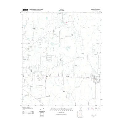
2013 Map of Blossom
USGS Topo · Published 2013About this map
Blossom and Reno anchor this Lamar County landscape, situated along a transportation corridor defined by the historic Santa Fe-Frisco Depot. This 2013 survey illustrates the transition from organized town grids to the surrounding rural reaches of northeast Texas. To the south, aviation and recreation interests are represented by the sprawling Cox Field Airport and Meadowbrook Memorial Park, while the Paris Drag Strip sits near the small community of Sun Valley.
Find a feature on this map
113 named features on this map. Tap any name to fly to it.
Don’t see what you’re looking for? This feature index may not catch every label — zoom into the map to look around manually.
Map Details
Editions of this 2013 Blossom Map
This is the sole edition of this map. No revisions or reprints were ever made.
Other maps of this area

1903 · Paris
USGS Topo · 1:125,000

1948 · Grant
USGS Topo · 1:62,500

1948 · Paris
USGS Topo · 1:62,500

1949 · Grant
USGS Topo · 1:62,500

1949 · Paris
USGS Topo · 1:62,500

1951 · Slate Shoals
USGS Topo · 1:24,000

1951 · Woodland
USGS Topo · 1:24,000

1953 · Texarkana
USGS Topo · 1:250,000

1956 · Texarkana
USGS Topo · 1:250,000

1964 · Detroit
USGS Topo · 1:24,000