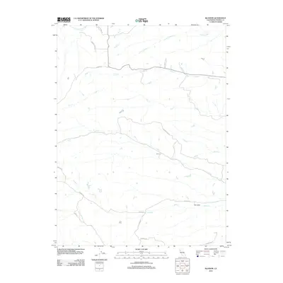
2012 Map of Blossom
USGS Topo · Published 2012About this map
Liza Creek flows through the center of this Tehama County landscape, where the small settlement of Blossom sits at a junction of rural roads. The area is defined by a dense network of seasonal drainages, including Dibble Creek and Brush Creek, which carve through the foothills east of the larger S Fork Cottonwood Creek. This 2012 survey illustrates the transition from the valley floor into the more complex topography of Burr Valley.
Find a feature on this map
24 named features on this map. Tap any name to fly to it.
Don’t see what you’re looking for? This feature index may not catch every label — zoom into the map to look around manually.
Map Details
Editions of this 2012 Blossom Map
This is the sole edition of this map. No revisions or reprints were ever made.
Other maps of this area

1890 · Red Bluff
USGS Topo · 1:250,000

1894 · Red Bluff
USGS Topo · 1:250,000

1947 · Anderson
USGS Topo · 1:62,500

1948 · Anderson
USGS Topo · 1:62,500

1949 · Colyear Springs
USGS Topo · 1:62,500

1951 · West of Gerber
USGS Topo · 1:24,000

1951 · Red Bluff West
USGS Topo · 1:24,000

1952 · Blossom
USGS Topo · 1:24,000

1952 · Red Bank
USGS Topo · 1:24,000

1952 · Ono
USGS Topo · 1:62,500