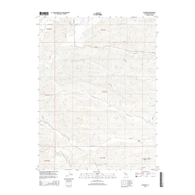
2015 Map of Blossom
USGS Topo · Published 2015About this map
Blossom sits at the heart of this landscape, where the northern reaches of the Sacramento Valley begin to give way to complex drainage networks. This 2015 data reflects a region defined by its watercourses, from the S Fork Cottonwood Cr in the north to the North Fork Red Bank Creek at the southern boundary. The presence of Burr Valley and Central Valley labels suggests a terrain where lowlands and upland pockets alternate, providing a diverse geography for local ranching or agriculture.
Find a feature on this map
37 named features on this map. Tap any name to fly to it.
Don’t see what you’re looking for? This feature index may not catch every label — zoom into the map to look around manually.
Map Details
Editions of this 2015 Blossom Map
This is the sole edition of this map. No revisions or reprints were ever made.
Other maps of this area

1890 · Red Bluff
USGS Topo · 1:250,000

1894 · Red Bluff
USGS Topo · 1:250,000

1947 · Anderson
USGS Topo · 1:62,500

1948 · Anderson
USGS Topo · 1:62,500

1949 · Colyear Springs
USGS Topo · 1:62,500

1951 · West of Gerber
USGS Topo · 1:24,000

1951 · Red Bluff West
USGS Topo · 1:24,000

1952 · Blossom
USGS Topo · 1:24,000

1952 · Red Bank
USGS Topo · 1:24,000

1952 · Ono
USGS Topo · 1:62,500