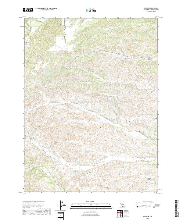
2021 Map of Blossom
USGS Topo · Published 2021About this map
Burr Valley and the northern reaches of the Sacramento Valley define this landscape in Tehama County, where the terrain transitions from the lowlands into the dissected foothills of the Coast Ranges. The map illustrates a complex network of seasonal drainage, with Reeds Creek and Pine Creek winding through the western hills toward the Central Valley. Settlement is sparse and largely defined by rural road networks such as Beegum Rd and Reeds Creek Rd, which follow the natural contours of the land. Local land use is reflected in family-named routes and ranch access roads like Hesse Rd and Gonsalves Rd. The presence of North Fork Red Bank Creek in the south and Hooker Cr in the north highlights the importance of watershed management in this part of Northern California.
Find a feature on this map
41 named features on this map. Tap any name to fly to it.
Don’t see what you’re looking for? This feature index may not catch every label — zoom into the map to look around manually.
Map Details
Editions of this 2021 Blossom Map
This is the sole edition of this map. No revisions or reprints were ever made.
Other maps of this area

1890 · Red Bluff
USGS Topo · 1:250,000

1894 · Red Bluff
USGS Topo · 1:250,000

1947 · Anderson
USGS Topo · 1:62,500

1948 · Anderson
USGS Topo · 1:62,500

1949 · Colyear Springs
USGS Topo · 1:62,500

1951 · West of Gerber
USGS Topo · 1:24,000

1951 · Red Bluff West
USGS Topo · 1:24,000

1952 · Blossom
USGS Topo · 1:24,000

1952 · Red Bank
USGS Topo · 1:24,000

1952 · Ono
USGS Topo · 1:62,500