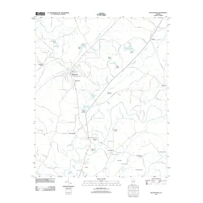
2011 Map of Blountsville
USGS Topo · Published 2011About this map
Blountsville sits at a geographic crossroads in northern Alabama where the waters of Blue Springs Creek and the Locust Fork define the valley floor. This 2011 survey documents a landscape of established rural communities and family-named landmarks, ranging from the settlement at Joy in the west to Royal in the east. The map provides significant genealogical value through its detailed marking of local burial grounds, including the Blountsville Cemetery, Fowler Springs Cemetery, and the Blackwood-Cornelius Cemetery.
Find a feature on this map
128 named features on this map. Tap any name to fly to it.
Don’t see what you’re looking for? This feature index may not catch every label — zoom into the map to look around manually.
Map Details
Editions of this 2011 Blountsville Map
This is the sole edition of this map. No revisions or reprints were ever made.
Other maps of this area

1885 · Gadsden
USGS Topo · 1:125,000

1888 · Cullman
USGS Topo · 1:125,000

1888 · Gadsden
USGS Topo · 1:125,000

1889 · Springville
USGS Topo · 1:125,000

1889 · Birmingham
USGS Topo · 1:125,000

1892 · Cullman
USGS Topo · 1:125,000

1892 · Birmingham
USGS Topo · 1:125,000

1892 · Springville
USGS Topo · 1:125,000

1892 · Gadsden
USGS Topo · 1:125,000

1895 · Gadsden
USGS Topo · 1:125,000