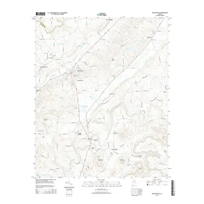
2014 Map of Blountsville
USGS Topo · Published 2014About this map
Blountsville serves as a central hub in this northern Alabama landscape, where the intersection of Us-231 and Al-79 dictates the modern flow of travel through the valley. The map documents a deeply rooted community structure, evidenced by the numerous small settlements and burial grounds that dot the terrain, including Mountain Grove to the west and Cleveland to the south. Genealogists will find a wealth of local landmarks such as Blountsville Cem, Oak Grove Cem, and the Blackwood Cornelius Cem.
Find a feature on this map
135 named features on this map. Tap any name to fly to it.
Don’t see what you’re looking for? This feature index may not catch every label — zoom into the map to look around manually.
Map Details
Editions of this 2014 Blountsville Map
This is the sole edition of this map. No revisions or reprints were ever made.
Other maps of this area

1885 · Gadsden
USGS Topo · 1:125,000

1888 · Cullman
USGS Topo · 1:125,000

1888 · Gadsden
USGS Topo · 1:125,000

1889 · Springville
USGS Topo · 1:125,000

1889 · Birmingham
USGS Topo · 1:125,000

1892 · Cullman
USGS Topo · 1:125,000

1892 · Birmingham
USGS Topo · 1:125,000

1892 · Springville
USGS Topo · 1:125,000

1892 · Gadsden
USGS Topo · 1:125,000

1895 · Gadsden
USGS Topo · 1:125,000