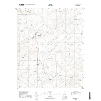
2018 Map of Blountsville
USGS Topo · Published 2018About this map
The Blountsville Valley corridor serves as the primary setting for this 2018 survey, centered on the historic town of Blountsville. The landscape is defined by the significant hydrology of the region, where the Mulberry Fork and the Locust Fork of the Black Warrior River influence the terrain. The area is marked by numerous family-named landmarks and rural communities such as Cleveland, Mountain Grove, and Joy, reflecting a long-standing pattern of ridge-and-valley settlement.
Find a feature on this map
132 named features on this map. Tap any name to fly to it.
Don’t see what you’re looking for? This feature index may not catch every label — zoom into the map to look around manually.
Map Details
Editions of this 2018 Blountsville Map
This is the sole edition of this map. No revisions or reprints were ever made.
Other maps of this area

1885 · Gadsden
USGS Topo · 1:125,000

1888 · Cullman
USGS Topo · 1:125,000

1888 · Gadsden
USGS Topo · 1:125,000

1889 · Springville
USGS Topo · 1:125,000

1889 · Birmingham
USGS Topo · 1:125,000

1892 · Cullman
USGS Topo · 1:125,000

1892 · Birmingham
USGS Topo · 1:125,000

1892 · Springville
USGS Topo · 1:125,000

1892 · Gadsden
USGS Topo · 1:125,000

1895 · Gadsden
USGS Topo · 1:125,000