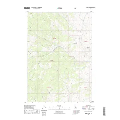
2020 Map of Blowfly Creek
USGS Topo · Published 2020About this map
Challis National Forest dominates this high-altitude landscape in Custer County, defined by a dense network of mountain drainages and seasonal roads. The terrain is structured by the deep carving of Morgan Creek and its many tributaries, including West Fork Morgan Creek and Little West Fork Morgan Creek. Notable topographic landmarks include the prominent Red Butte in the south and the jagged Rye Grass Pinnacle to the east. The map captures the specialized infrastructure of this remote area, marking several routes as seasonal including the Morgan Creek Road and West Fork Morgan Creek Road, which provide access to high-basin features like Eddy Basin. From Millick Gulch to the headwaters of Blowfly Creek, the survey illustrates the complex hydrology of the Salmon River mountains before modern development.
Find a feature on this map
37 named features on this map. Tap any name to fly to it.
Don’t see what you’re looking for? This feature index may not catch every label — zoom into the map to look around manually.
Map Details
Editions of this 2020 Blowfly Creek Map
This is the sole edition of this map. No revisions or reprints were ever made.
Other maps of this area

1956 · Challis
USGS Topo · 1:62,500

1956 · Twin Peaks
USGS Topo · 1:62,500

1957 · Challis
USGS Topo · 1:250,000

1960 · Challis
USGS Topo · 1:250,000

1963 · Challis
USGS Topo · 1:250,000
1963 · Black Mtn
USGS Topo · 1:24,000
1963 · Wards Butte
USGS Topo · 1:24,000
1963 · Meyers Cove Point
USGS Topo · 1:24,000
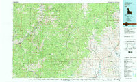
1982 · Challis
USGS Topo · 1:100,000
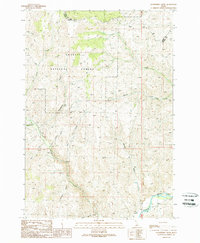
1989 · Gooseberry Creek
USGS Topo · 1:24,000