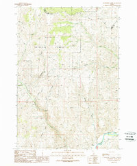
1989 Map of Gooseberry Creek
USGS Topo · Published 1989About this map
The Challis National Forest dominates this high-altitude terrain in Central Idaho, where a complex network of drainage systems defines the landscape. The Salmon River cuts through the southeastern corner, serving as a primary corridor for travel and trade in an otherwise steep and challenging environment. Rising above the valleys, Table Mountain provides a significant landmark for those navigating the numerous gulches and creeks that feed into the larger river system.
Find a feature on this map
20 named features on this map. Tap any name to fly to it.
Don’t see what you’re looking for? This feature index may not catch every label — zoom into the map to look around manually.
Map Details
Editions of this 1989 Gooseberry Creek Map
This is the sole edition of this map. No revisions or reprints were ever made.
Other maps of this area

1956 · Challis
USGS Topo · 1:62,500

1956 · Twin Peaks
USGS Topo · 1:62,500

1957 · Challis
USGS Topo · 1:250,000

1960 · Challis
USGS Topo · 1:250,000

1963 · Challis
USGS Topo · 1:250,000
1963 · Black Mtn
USGS Topo · 1:24,000
1963 · Hat Creek
USGS Topo · 1:24,000
1963 · Wards Butte
USGS Topo · 1:24,000
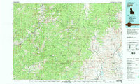
1982 · Challis
USGS Topo · 1:100,000
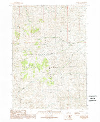
1989 · Grouse Peak
USGS Topo · 1:24,000