
2017 Map of Blowout Mountain
USGS Topo · Published 2017About this map
Lewis and Clark Pass marks a historic crossing point through the Lewis and Clark Range, a landscape where the Lewis & Clark National Forest meets the Helena National Forest. The topography is dominated by prominent summits such as Blowout Mountain, Red Mtn, and Sugarloaf Mtn. The drainage system is particularly intricate, with the Alice Creek Basin feeding into Alice Creek and the southern slopes, while northern drainages like Big Skunk Creek and Little Skunk Creek carve through the high ridges. This area preserves a remote section of the Continental Divide, showing the transition from steep peaks to deep gulches like Wildcat Gulch and Telephone Gulch, illustrating the difficult terrain encountered by early explorers and surveyors.
Find a feature on this map
35 named features on this map. Tap any name to fly to it.
Don’t see what you’re looking for? This feature index may not catch every label — zoom into the map to look around manually.
Map Details
Editions of this 2017 Blowout Mountain Map
This is the sole edition of this map. No revisions or reprints were ever made.
Other maps of this area

1903 · Coopers Lake
USGS Topo · 1:125,000

1943 · Hogan
USGS Topo · 1:125,000

1955 · Choteau
USGS Topo · 1:250,000

1957 · Choteau
USGS Topo · 1:250,000

1958 · Choteau
USGS Topo · 1:250,000

1962 · Choteau
USGS Topo · 1:250,000
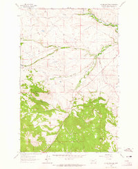
1962 · Johnson Mountain
USGS Topo · 1:24,000
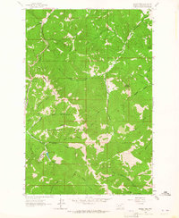
1963 · Rogers Pass
USGS Topo · 1:24,000
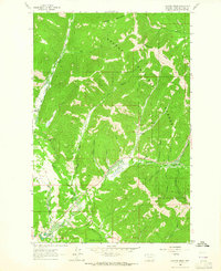
1963 · Cadotte Creek
USGS Topo · 1:24,000
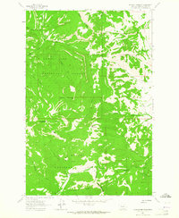
1963 · Blowout Mountain
USGS Topo · 1:24,000