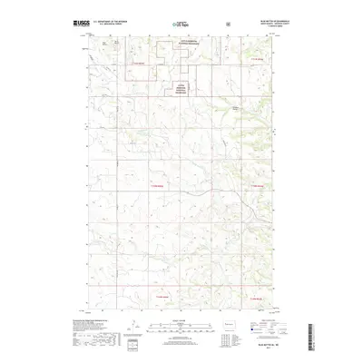
2017 Map of Blue Buttes SE
USGS Topo · Published 2017About this map
Little Missouri National Grassland encompasses much of this West River landscape, defined by the prominent heights of Blue Buttes and Aura Butte in the northwest. The drainage patterns of this territory are dictated by several watercourses, most notably Handy Water Cr and Bear Den Cr, which carve through the high plains. The map illustrates a transitional geography where the rugged breaks of Foreman Coulee meet more open ranching or conservation lands. Transportation is limited to a sparse network of rural routes, including Co Rte 14 and Bia Rd 4, reflecting the area's sparse settlement and continued focus on land management and natural resource protection. The inclusion of Section, Township, and Range lines provides a essential framework for genealogists or land researchers tracing property histories in this part of McKenzie County.
Find a feature on this map
16 named features on this map. Tap any name to fly to it.
Don’t see what you’re looking for? This feature index may not catch every label — zoom into the map to look around manually.
Map Details
Editions of this 2017 Blue Buttes SE Map
This is the sole edition of this map. No revisions or reprints were ever made.
Other maps of this area

1953 · Watford City
USGS Topo · 1:250,000

1957 · Watford City
USGS Topo · 1:250,000

1959 · Croff
USGS Topo · 1:24,000

1965 · Keene
USGS Topo · 1:24,000

1965 · Johnsons Corner
USGS Topo · 1:24,000

1965 · Blue Buttes
USGS Topo · 1:24,000

1965 · Blue Buttes SE
USGS Topo · 1:24,000

1967 · Watford City
USGS Topo · 1:250,000

1967 · Sanish NW
USGS Topo · 1:24,000

1967 · Sanish SW
USGS Topo · 1:24,000