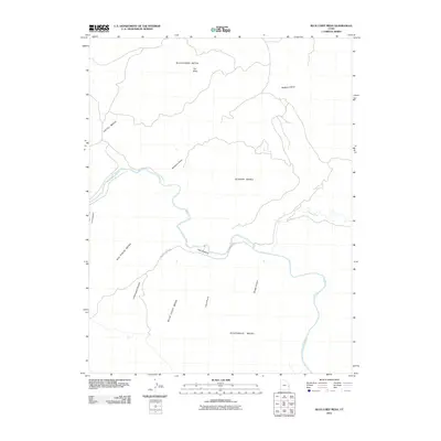
2011 Map of Blue Chief Mesa
USGS Topo · Published 2011About this map
The Dolores River carves a winding path through this corner of Grand County, defining a landscape of high tablelands and deep canyon systems. High-elevation features like Buckhorn Mesa and Blue Chief Mesa dominate the terrain, separated by dramatic erosional features such as The Slide and the long course of Buckhorn Draw. This area represents a sparsely developed section of the Colorado Plateau, where the few signs of human infrastructure are focused near the river corridor.
Find a feature on this map
16 named features on this map. Tap any name to fly to it.
Don’t see what you’re looking for? This feature index may not catch every label — zoom into the map to look around manually.
Map Details
Editions of this 2011 Blue Chief Mesa Map
This is the sole edition of this map. No revisions or reprints were ever made.
Other maps of this area

1885 · La Sal
USGS Topo · 1:250,000

1954 · Mt. Waas 4 NE
USGS Topo · 1:24,000

1954 · Mt. Waas 4 NW
USGS Topo · 1:24,000

1954 · Mt. Waas 3 NE
USGS Topo · 1:24,000

1954 · Mt. Waas 1 SW
USGS Topo · 1:24,000

1954 · Mt. Waas 1 NE
USGS Topo · 1:24,000

1954 · Mt. Waas 1 NW
USGS Topo · 1:24,000

1954 · Mt. Waas 1 SE
USGS Topo · 1:24,000

1954 · Coates Creek
USGS Topo · 1:62,500

1954 · Polar Mesa
USGS Topo · 1:62,500