
1954 Map of Polar Mesa
USGS Topo · Published 1957About this map
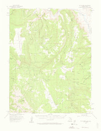
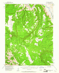
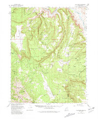
The Dolores River cuts through the northeast corner of this high-altitude landscape where the Manti-La Sal National Forest meets the Utah-Colorado state line. In the mid-1950s, this area was a remote intersection of livestock grazing and early Cold War mineral exploration. The presence of a Landing Strip near Dolores Point and a Grain Storage Tank on Polar Mesa suggests an economy supported by aerial access and high-plateau agriculture. High peaks of the La Sal Mountains, including Mt Waas and Mt Tomasaki, dominate the southwest, providing a stark contrast to the deep erosional cuts of Fisher Valley and Sinbad Valley. A network of Jeep Trails and unnamed trails spider across the mesas, connecting isolated infrastructure like a Sawmill in the south and various reservoirs used for upland water management.
Find a feature on this map
68 named features on this map. Tap any name to fly to it.
Don’t see what you’re looking for? This feature index may not catch every label — zoom into the map to look around manually.
Map Details
Editions of this 1954 Polar Mesa Map
4 editions found
Other maps of this area

1885 · La Sal
USGS Topo · 1:250,000

1916 · Paradox Valley
USGS Topo · 1:125,000

1922 · Paradox Valley
USGS Topo · 1:125,000

1948 · Roc Creek
USGS Topo · 1:24,000

1949 · Roc Creek
USGS Topo · 1:24,000

1949 · Juanita Arch
USGS Topo · 1:24,000

1949 · Gateway
USGS Topo · 1:24,000

1950 · Juanita Arch
USGS Topo · 1:24,000

1952 · Gateway
USGS Topo · 1:24,000

1954 · Mt Peale 1 NE
USGS Topo · 1:24,000