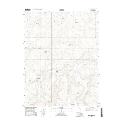
2017 Map of Blue Chief Mesa
USGS Topo · Published 2017About this map
The Dolores River cuts a deep path through the high desert plateau of eastern Grand County, defining the drainage patterns for a network of named canyons and mesas. This landscape is characterized by its prominent geological benches, including the extensive Blue Chief Mesa in the south and Scharf Mesa to the north. Movement through the area is largely dictated by the terrain, with historical access routes like the Old Scharf Ranch Rd and trails through Buckhorn Draw connecting the uplands to the river basin.
Find a feature on this map
27 named features on this map. Tap any name to fly to it.
Don’t see what you’re looking for? This feature index may not catch every label — zoom into the map to look around manually.
Map Details
Editions of this 2017 Blue Chief Mesa Map
This is the sole edition of this map. No revisions or reprints were ever made.
Other maps of this area

1885 · La Sal
USGS Topo · 1:250,000

1954 · Mt. Waas 4 NE
USGS Topo · 1:24,000

1954 · Mt. Waas 4 NW
USGS Topo · 1:24,000

1954 · Mt. Waas 3 NE
USGS Topo · 1:24,000

1954 · Mt. Waas 1 SW
USGS Topo · 1:24,000

1954 · Mt. Waas 1 NE
USGS Topo · 1:24,000

1954 · Mt. Waas 1 NW
USGS Topo · 1:24,000

1954 · Mt. Waas 1 SE
USGS Topo · 1:24,000

1954 · Coates Creek
USGS Topo · 1:62,500

1954 · Polar Mesa
USGS Topo · 1:62,500