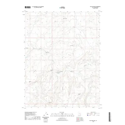
2020 Map of Blue Chief Mesa
USGS Topo · Published 2020About this map
The Dolores River carves a deep, winding course through this section of Grand County, defining a landscape of high plateaus and secluded basins. Along its banks, the Utah Bottoms provide a rare level area amidst the surrounding verticality of Hotel Mesa and Sevenmile Mesa. Evidence of land use and ranching history is etched into the terrain by the Old Scharf Ranch Rd, which traverses the Sevenmile Area and skirts the deep incision of Cottonwood Canyon. To the north, the topographic relief is dominated by Buckhorn Mesa and the striking geologic feature known as The Slide. The drainage network, including Granite Creek and Bridge Canyon, illustrates the erosive forces that have isolated landmarks like Blue Chief Mesa and the Pinto Mesa Area from the surrounding high country.
Find a feature on this map
21 named features on this map. Tap any name to fly to it.
Don’t see what you’re looking for? This feature index may not catch every label — zoom into the map to look around manually.
Map Details
Editions of this 2020 Blue Chief Mesa Map
This is the sole edition of this map. No revisions or reprints were ever made.
Other maps of this area

1885 · La Sal
USGS Topo · 1:250,000

1954 · Mt. Waas 4 NE
USGS Topo · 1:24,000

1954 · Mt. Waas 4 NW
USGS Topo · 1:24,000

1954 · Mt. Waas 3 NE
USGS Topo · 1:24,000

1954 · Mt. Waas 1 SW
USGS Topo · 1:24,000

1954 · Mt. Waas 1 NE
USGS Topo · 1:24,000

1954 · Mt. Waas 1 NW
USGS Topo · 1:24,000

1954 · Mt. Waas 1 SE
USGS Topo · 1:24,000

1954 · Coates Creek
USGS Topo · 1:62,500

1954 · Polar Mesa
USGS Topo · 1:62,500