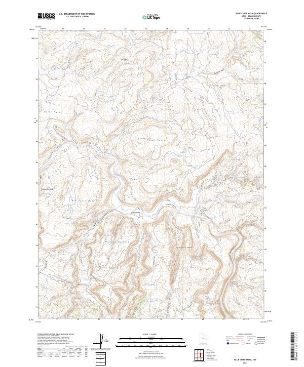
2023 Map of Blue Chief Mesa
USGS Topo · Published 2023About this map
The Dolores River winds through a landscape of high plateaus and deep incisions, defining the geography of this part of Grand County. To the north and west, prominent features like Buckhorn Mesa, Hotel Mesa, and Scharf Mesa loom over the river valley. The presence of Old Sharf Ranch Rd and the Utah Bottoms indicates the historical ranching activity that utilized the relatively flat land near the river's edge. Further south, the terrain rises again toward Blue Chief Mesa and Sevenmile Mesa, punctuated by dramatic geological markers such as The Slide and Bridge Canyon. This survey captures a remote stretch of eastern Utah where cattle ranching and rugged topography meet, showing how early roads like Buckhorn followed the natural contours of the mesas to navigate the high desert.
Find a feature on this map
23 named features on this map. Tap any name to fly to it.
Don’t see what you’re looking for? This feature index may not catch every label — zoom into the map to look around manually.
Map Details
Editions of this 2023 Blue Chief Mesa Map
This is the sole edition of this map. No revisions or reprints were ever made.
Other maps of this area

1885 · La Sal
USGS Topo · 1:250,000

1954 · Mt. Waas 4 NE
USGS Topo · 1:24,000

1954 · Mt. Waas 4 NW
USGS Topo · 1:24,000

1954 · Mt. Waas 3 NE
USGS Topo · 1:24,000

1954 · Mt. Waas 1 SW
USGS Topo · 1:24,000

1954 · Mt. Waas 1 NE
USGS Topo · 1:24,000

1954 · Mt. Waas 1 NW
USGS Topo · 1:24,000

1954 · Mt. Waas 1 SE
USGS Topo · 1:24,000

1954 · Coates Creek
USGS Topo · 1:62,500

1954 · Polar Mesa
USGS Topo · 1:62,500