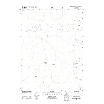
2012 Map of Blue Creek Mountain
USGS Topo · Published 2012About this map
Blue Creek Mountain and the surrounding high ridges of Humboldt County are defined by a complex network of seasonal creeks and forest service routes. At the center of the quadrangle, Yellow Jacket Camp serves as a lone designated site amidst the peaks, reachable via Forest Rte 13N01. The geography is shaped by the Blue Creek Mountain Ridge and Pecwan Ridge, which divide the drainages of Blue Cr and Pecuan Cr. These drainages feed into larger systems via tributaries like Crescent City Fork and W Fork Pecuan Cr. Historical land use is visible through named clearings and landmarks such as Stevens Prairie, Bear Pen Flat, and Lookout Point, while the primitive Blue Creek Mtn Trl provides access to the highest elevations near Nickowitz Peak.
Find a feature on this map
44 named features on this map. Tap any name to fly to it.
Don’t see what you’re looking for? This feature index may not catch every label — zoom into the map to look around manually.
Map Details
Editions of this 2012 Blue Creek Mountain Map
This is the sole edition of this map. No revisions or reprints were ever made.
Other maps of this area

1922 · Preston Peak
USGS Topo · 1:125,000

1925 · Hoopa
USGS Topo · 1:125,000

1945 · Ship Mountain
USGS Topo · 1:62,500

1945 · Tectah Creek
USGS Topo · 1:62,500

1948 · Weed
USGS Topo · 1:250,000

1950 · Weed
USGS Topo · 1:250,000

1952 · Ship Mountain
USGS Topo · 1:62,500

1952 · Orleans
USGS Topo · 1:62,500

1952 · Tectah Creek
USGS Topo · 1:62,500

1955 · Dillon Mtn
USGS Topo · 1:62,500