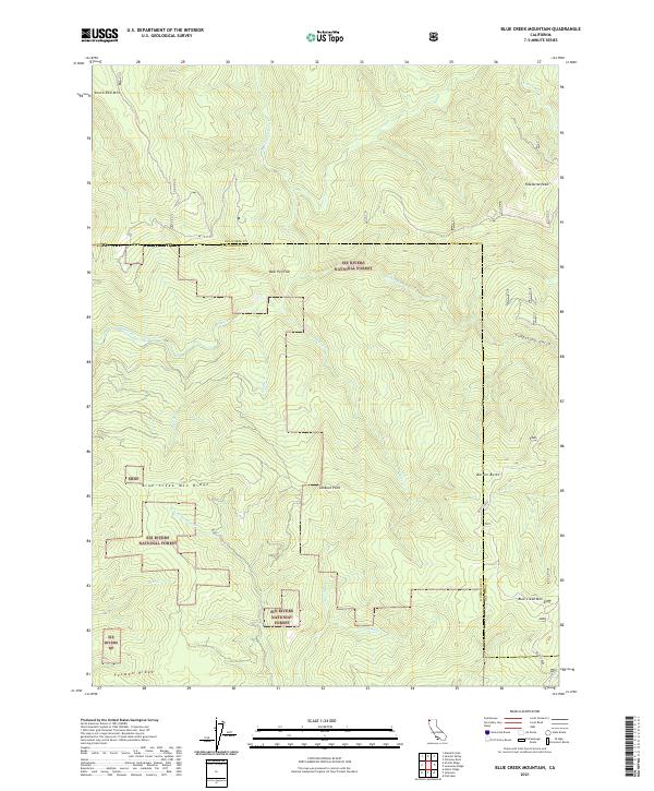
2021 Map of Blue Creek Mountain
USGS Topo · Published 2021About this map
Six Rivers National Forest dominates this section of the Klamath Mountains, where the border between Humboldt and Del Norte counties crosses a landscape defined by steep drainages and prominent ridges. High points such as South Red Mtn and Nickowitz Peak overlook a complex network of waterways, including the Crescent City Fork and the main stem of Blue Creek. The terrain is characterized by sharp elevation changes, as seen in the drop from Blue Creek Mtn Ridge down to Bear Cr and Pecwan Cr.
Find a feature on this map
46 named features on this map. Tap any name to fly to it.
Don’t see what you’re looking for? This feature index may not catch every label — zoom into the map to look around manually.
Map Details
Editions of this 2021 Blue Creek Mountain Map
This is the sole edition of this map. No revisions or reprints were ever made.
Other maps of this area

1922 · Preston Peak
USGS Topo · 1:125,000

1925 · Hoopa
USGS Topo · 1:125,000

1945 · Ship Mountain
USGS Topo · 1:62,500

1945 · Tectah Creek
USGS Topo · 1:62,500

1948 · Weed
USGS Topo · 1:250,000

1950 · Weed
USGS Topo · 1:250,000

1952 · Ship Mountain
USGS Topo · 1:62,500

1952 · Orleans
USGS Topo · 1:62,500

1952 · Tectah Creek
USGS Topo · 1:62,500

1955 · Dillon Mtn
USGS Topo · 1:62,500