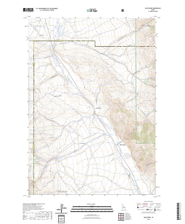
2024 Map of Blue Dome
USGS Topo · Published 2024About this map
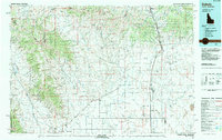
Birch Creek Valley serves as the central corridor for this part of Clark County, where the high desert meets the eastern foothills of the Lemhi Range. The small settlement of Blue Dome marks a junction point near the mouth of Skull Canyon, a landscape defined by dramatic elevation changes and dry gulches. Historical land use is evident in the presence of the Skull Mine tucked away in the southern canyons, while the John Day Cem near the southern boundary provides a specific point of interest for genealogists and local historians.
Find a feature on this map
38 named features on this map. Tap any name to fly to it.
Don’t see what you’re looking for? This feature index may not catch every label — zoom into the map to look around manually.
Map Details
Editions of this 2024 Blue Dome Map
This is the sole edition of this map. No revisions or reprints were ever made.
Other maps of this area

1955 · Dubois
USGS Topo · 1:250,000
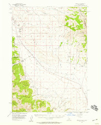
1956 · Nicholia
USGS Topo · 1:62,500
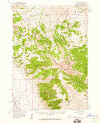
1957 · Diamond Peak
USGS Topo · 1:62,500
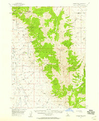
1957 · Scott Peak
USGS Topo · 1:62,500

1958 · Dubois
USGS Topo · 1:250,000
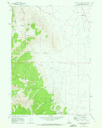
1969 · Eightmile Canyon
USGS Topo · 1:24,000
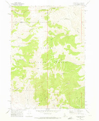
1969 · Copper Mtn
USGS Topo · 1:24,000
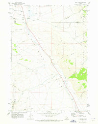
1969 · Blue Dome
USGS Topo · 1:24,000
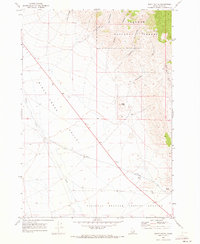
1969 · Scott Butte
USGS Topo · 1:24,000
1983 · Dubois
USGS Topo · 1:100,000