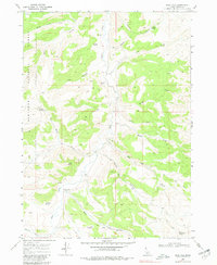
1968 Map of Blue Hill
USGS Topo · Published 1981About this map
The Sawtooth National Forest boundary defines the western reaches of this high-elevation terrain in Cassia County, where the landscape is carved by deep drainages like Big Canyon and Devine Canyon. This late 1960s survey documents a network of vital water sources critical for livestock and land management in a dry environment, including Poulton Spring, Wilson Spring, and the uniquely labeled Spring (Hot) near Goose Creek.
Find a feature on this map
29 named features on this map. Tap any name to fly to it.
Don’t see what you’re looking for? This feature index may not catch every label — zoom into the map to look around manually.
Map Details
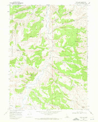
Editions of this 1968 Blue Hill Map
2 editions found
Other maps of this area

1954 · Pocatello
USGS Topo · 1:250,000

1954 · Brigham City
USGS Topo · 1:250,000

1955 · Twin Falls
USGS Topo · 1:250,000

1955 · Wells
USGS Topo · 1:250,000

1958 · Wells
USGS Topo · 1:250,000

1958 · Twin Falls
USGS Topo · 1:250,000

1958 · Pocatello
USGS Topo · 1:250,000

1958 · Brigham City
USGS Topo · 1:250,000

1959 · Cotton Thomas Basin
USGS Topo · 1:62,500

1961 · Wells
USGS Topo · 1:250,000