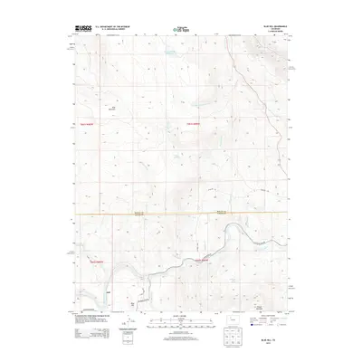
2013 Map of Blue Hill
USGS Topo · Published 2013About this map
The Colorado River carves through the southern portion of this landscape, creating a focal point for transportation and settlement at the hamlet of Dell. In the early 21st century, this transition between the mountains of Routt Co and Eagle Co remains defined by its water resources and high-elevation terrain. Vital water management is evident through several upland catchments, including Grimes Brooks Reservoir, Waller Reservoir, and Luark Reservoir, which supported local ranching and agriculture in the high desert environment. Notable peaks such as King Mountain and Pisgah Mountain rise above the drainage networks of Tepee Creek and Red Dirt Creek, while Balanced Rock Spring provides a permanent water source in the drier eastern reaches. The road network, including Colorado River RD and Luark RD, follows the natural contours of the river valley and its tributary gulches.
Find a feature on this map
27 named features on this map. Tap any name to fly to it.
Don’t see what you’re looking for? This feature index may not catch every label — zoom into the map to look around manually.
Map Details
Editions of this 2013 Blue Hill Map
This is the sole edition of this map. No revisions or reprints were ever made.
Other maps of this area

1954 · Craig
USGS Topo · 1:250,000
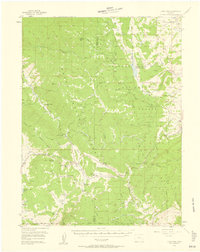
1956 · Gore Pass
USGS Topo · 1:62,500
1957 · Craig
USGS Topo · 1:250,000

1957 · Leadville
USGS Topo · 1:250,000
1958 · Craig
USGS Topo · 1:250,000

1959 · Leadville
USGS Topo · 1:250,000
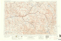
1960 · Leadville
USGS Topo · 1:250,000
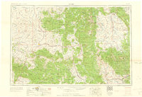
1960 · Craig
USGS Topo · 1:250,000
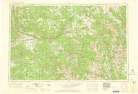
1962 · Leadville
USGS Topo · 1:250,000
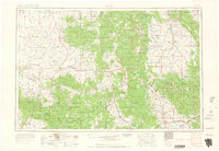
1962 · Craig
USGS Topo · 1:250,000