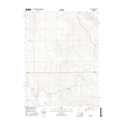
2016 Map of Blue Hill
USGS Topo · Published 2016About this map
The Colorado River carves through the southern half of this landscape, marking the transition between the Routt and Eagle County line. The small settlement of Dell sits near the river's edge, shadowed by the prominent heights of King Mtn to the north and Pisgah Mtn to the southeast. This high-altitude terrain is defined by a complex network of water management, featuring several named catchments such as Grimes Brooks Reservoir, Waller Reservoir, and Wohler Reservoir.
Find a feature on this map
32 named features on this map. Tap any name to fly to it.
Don’t see what you’re looking for? This feature index may not catch every label — zoom into the map to look around manually.
Map Details
Editions of this 2016 Blue Hill Map
This is the sole edition of this map. No revisions or reprints were ever made.
Other maps of this area

1954 · Craig
USGS Topo · 1:250,000
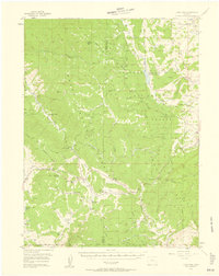
1956 · Gore Pass
USGS Topo · 1:62,500
1957 · Craig
USGS Topo · 1:250,000

1957 · Leadville
USGS Topo · 1:250,000
1958 · Craig
USGS Topo · 1:250,000

1959 · Leadville
USGS Topo · 1:250,000
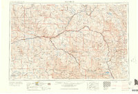
1960 · Leadville
USGS Topo · 1:250,000
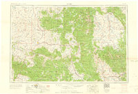
1960 · Craig
USGS Topo · 1:250,000
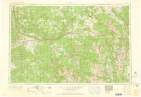
1962 · Leadville
USGS Topo · 1:250,000
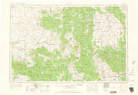
1962 · Craig
USGS Topo · 1:250,000