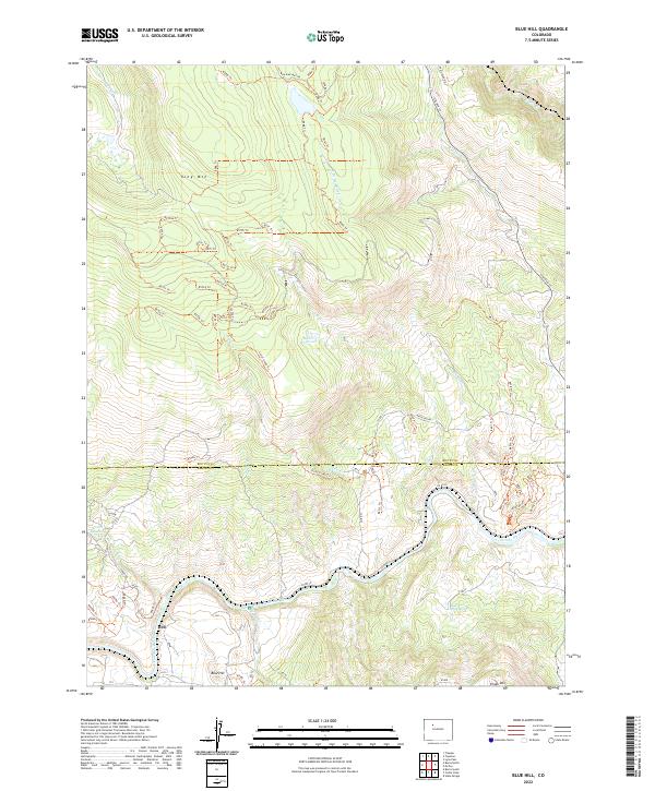
2022 Map of Blue Hill
USGS Topo · Published 2022About this map
The Colorado River carves through this high-altitude landscape on the border of Routt and Eagle counties. The terrain is defined by the massive presence of King Mtn in the northwest and Pisgah Mtn to the southeast, creating a high-country corridor where water resources were carefully managed. Evidence of this focus on water is clear through landmarks like Waller Reservoir and Luark Reservoir, alongside Balanced Rock Spring.
Find a feature on this map
81 named features on this map. Tap any name to fly to it.
Don’t see what you’re looking for? This feature index may not catch every label — zoom into the map to look around manually.
Map Details
Editions of this 2022 Blue Hill Map
This is the sole edition of this map. No revisions or reprints were ever made.
Other maps of this area

1954 · Craig
USGS Topo · 1:250,000

1956 · Gore Pass
USGS Topo · 1:62,500

1957 · Craig
USGS Topo · 1:250,000

1957 · Leadville
USGS Topo · 1:250,000

1958 · Craig
USGS Topo · 1:250,000

1959 · Leadville
USGS Topo · 1:250,000

1960 · Leadville
USGS Topo · 1:250,000

1960 · Craig
USGS Topo · 1:250,000

1962 · Leadville
USGS Topo · 1:250,000

1962 · Craig
USGS Topo · 1:250,000