
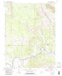
1972 Map of Blue Hill
USGS Topo · Published 1975About this map
The Colorado River carves a deep path through the high country along the border of Routt and Eagle Counties, defining the lower half of this landscape. In the early 1970s, the river corridor served as a primary transportation artery, shared by the Denver and Rio Grande Western railroad and several light-duty roads. Near the bend in the river, the small settlement of Dell and the Rodeo Ground reflect the local ranching and rural community life of the era.
Find a feature on this map
22 named features on this map. Tap any name to fly to it.
Don’t see what you’re looking for? This feature index may not catch every label — zoom into the map to look around manually.
Map Details
Editions of this 1972 Blue Hill Map
2 editions found
Other maps of this area

1954 · Craig
USGS Topo · 1:250,000

1956 · Gore Pass
USGS Topo · 1:62,500

1957 · Craig
USGS Topo · 1:250,000

1957 · Leadville
USGS Topo · 1:250,000

1958 · Craig
USGS Topo · 1:250,000

1959 · Leadville
USGS Topo · 1:250,000

1960 · Leadville
USGS Topo · 1:250,000

1960 · Craig
USGS Topo · 1:250,000

1962 · Leadville
USGS Topo · 1:250,000

1962 · Craig
USGS Topo · 1:250,000