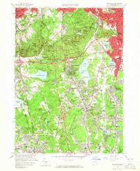
1958 Map of Blue Hills
USGS Topo · Published 1965About this map
Great Blue Hill and the sprawling Blue Hills Reservation dominate this landscape just south of Boston, where the late 1950s suburban expansion meets the granite peaks of Norfolk County. The terrain is marked by numerous summits like Chickatawbut Hill and Hancock Hill, while the industrial legacy of the region is visible in the numerous quarries scattered near West Quincy. The map documents a significant era of institutional and educational growth, featuring prominent campuses such as Curry College, Milton Academy, and the Boston School for the Deaf.
Find a feature on this map
129 named features on this map. Tap any name to fly to it.
Don’t see what you’re looking for? This feature index may not catch every label — zoom into the map to look around manually.
Map Details
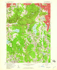
Editions of this 1958 Blue Hills Map
2 editions found
Other maps of this area

1885 · Abington
USGS Topo · 1:62,500

1886 · Dedham
USGS Topo · 1:62,500

1888 · Abington
USGS Topo · 1:62,500

1892 · Boston Bay
USGS Topo · 1:62,500

1893 · Abington
USGS Topo · 1:62,500

1893 · Boston
USGS Topo · 1:62,500

1894 · Dedham
USGS Topo · 1:62,500

1903 · Boston
USGS Topo · 1:62,500

1903 · Boston Bay
USGS Topo · 1:62,500

1919 · Dedham
USGS Topo · 1:62,500