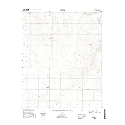
2017 Map of Blue Hole
USGS Topo · Published 2017About this map
Blue Hole and the drainage of Rana Arroyo define the high plains landscape of this eastern New Mexico survey. The terrain is marked by the seasonal waters of Frost Cr and Rana Canyon, which cut through the tableland near the junction of multiple township lines. The grid of rural routes, including Quay Road 72 and Quay Road J, reflects the persistent settlement patterns of Quay County, where water resources were historically critical for ranching operations. Isolated man-made features like Mesquital Tank and East Side Tank underscore the importance of water management in this arid environment, providing specific points of interest for those studying the agricultural and ranching history of the Llano Estacado region during the early twenty-first century.
Find a feature on this map
15 named features on this map. Tap any name to fly to it.
Don’t see what you’re looking for? This feature index may not catch every label — zoom into the map to look around manually.
Map Details
Editions of this 2017 Blue Hole Map
This is the sole edition of this map. No revisions or reprints were ever made.
Other maps of this area

1954 · Tucumcari
USGS Topo · 1:250,000

1958 · Tucumcari
USGS Topo · 1:250,000

1962 · Logan
USGS Topo · 1:62,500

1968 · Porter
USGS Topo · 1:24,000

1968 · Blue Hole
USGS Topo · 1:24,000

1968 · Bard
USGS Topo · 1:24,000

1968 · Glenrio
USGS Topo · 1:24,000

1968 · Cammak Camp
USGS Topo · 1:24,000

1968 · Sanchez Springs
USGS Topo · 1:24,000
1968 · Martin Draw
USGS Topo · 1:24,000