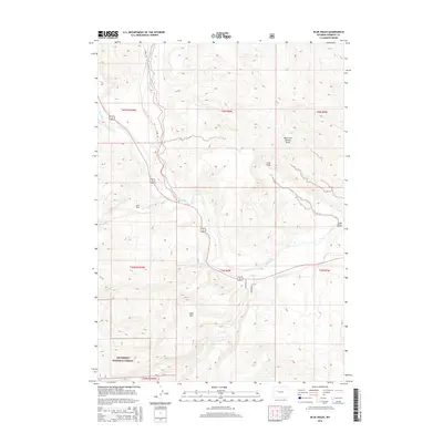
2015 Map of Blue Holes
USGS Topo · Published 2015About this map
The Wind River and its tributary, the East Fork Wind River, dominate this high-plains landscape where river hydrology meets agricultural development. In the southern portion of the sheet, the Shoshone National Forest boundary marks a transition toward higher elevations, including the prominent Table Mtn. This area in Fremont County exhibits a complex system of water management essential for the arid environment, evidenced by the Circle Ditch, Carson Ditch, and the Miller Red Cr Canal. These man-made features trace the historical efforts to divert water from natural flows like Blue Hole Cr and Little Red Cr to support the surrounding territory. The eponymous Blue Holes feature and several dry drainage cuts like Coal Draw further illustrate the geologically varied terrain that has shaped local land use and transportation routes like E Fork Rd and Red Creek Ln.
Find a feature on this map
23 named features on this map. Tap any name to fly to it.
Don’t see what you’re looking for? This feature index may not catch every label — zoom into the map to look around manually.
Map Details
Editions of this 2015 Blue Holes Map
This is the sole edition of this map. No revisions or reprints were ever made.
Other maps of this area

1904 · Kirwin
USGS Topo · 1:125,000

1905 · Younts Peak
USGS Topo · 1:125,000

1906 · Kirwin
USGS Topo · 1:125,000

1907 · Younts Peak
USGS Topo · 1:125,000

1909 · Fremont Peak
USGS Topo · 1:125,000

1952 · Wilderness
USGS Topo · 1:24,000

1952 · Hays Park
USGS Topo · 1:24,000

1952 · Blue Holes
USGS Topo · 1:24,000

1952 · Burris
USGS Topo · 1:24,000

1955 · Thermopolis
USGS Topo · 1:250,000