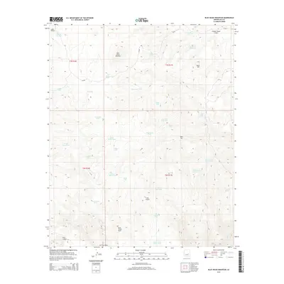
2014 Map of Blue House Mountain
USGS Topo · Published 2014About this map
Blue House Mountain dominates the skyline of this high-elevation Gila County landscape, where the geography is defined by a dense network of canyons and livestock watering infrastructure. The reliance on artificial tanks across this arid terrain is evident through numerous named features like Tin House Tank, Grease Bucket Tank, and Brown Cabin Tank. Evidence of human presence beyond ranching appears at Ruins Tank and Rock House Butte, suggesting a depth of habitation near Navajo Spring. The hydrology of the region flows through deep cuts such as Sam Canyon and Hole Canyon, eventually draining toward the Salt River Draw and Cibecue Cr. Managed roads, including CO Road 4 and Bia 3, provide limited access through the townships of t7n r17e and t6n r17e, illustrating the remote character of the Arizona backcountry during the early 21st century.
Find a feature on this map
43 named features on this map. Tap any name to fly to it.
Don’t see what you’re looking for? This feature index may not catch every label — zoom into the map to look around manually.
Map Details
Editions of this 2014 Blue House Mountain Map
This is the sole edition of this map. No revisions or reprints were ever made.
Other maps of this area

1886 · Holbrook
USGS Topo · 1:250,000

1893 · Holbrook
USGS Topo · 1:250,000

1922 · Chrysotile
USGS Topo · 1:125,000

1946 · Blue House Mtn
USGS Topo · 1:62,500

1951 · Blue House Mtn
USGS Topo · 1:62,500

1954 · Holbrook
USGS Topo · 1:250,000

1954 · Mesa
USGS Topo · 1:250,000

1957 · Mesa
USGS Topo · 1:250,000

1957 · Holbrook
USGS Topo · 1:250,000

1958 · Mesa
USGS Topo · 1:250,000