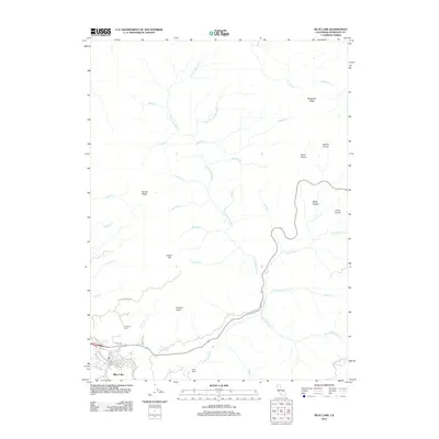
2012 Map of Blue Lake
USGS Topo · Published 2012About this map
Blue Lake sits at the southwestern edge of this coastal range landscape, serving as the primary hub where local transit like Blue Lake Blvd and S Railroad Ave converge near the N Fork Mad River. The terrain rising to the north and east is defined by a series of named grasslands and high points, including Miller Prairie, Round Prairie, and Fawn Prairie, which suggest a history of grazing or natural clearings within the timbered hills.
Find a feature on this map
44 named features on this map. Tap any name to fly to it.
Don’t see what you’re looking for? This feature index may not catch every label — zoom into the map to look around manually.
Map Details
Editions of this 2012 Blue Lake Map
This is the sole edition of this map. No revisions or reprints were ever made.
Other maps of this area

1922 · Eureka
USGS Topo · 1:62,500

1922 · Korbel
USGS Topo · 1:62,500

1925 · Hoopa
USGS Topo · 1:125,000

1933 · Eureka
USGS Topo · 1:48,000

1942 · Eureka
USGS Topo · 1:62,500

1945 · Trinidad
USGS Topo · 1:62,500

1945 · Coyote Peak
USGS Topo · 1:62,500

1945 · Blue Lake
USGS Topo · 1:62,500

1948 · Weed
USGS Topo · 1:250,000

1949 · Eureka
USGS Topo · 1:250,000