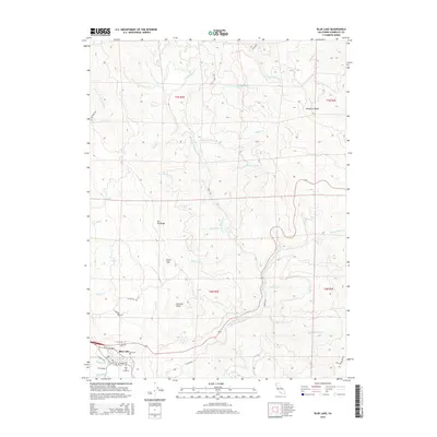
2015 Map of Blue Lake
USGS Topo · Published 2015About this map
The settlement of Blue Lake serves as the focal point in this 2015 study of Humboldt County terrain, situated at the confluence of the Mad River and its various tributaries. This modern topographic record captures the intersection of historical transport routes and rugged natural geography, featuring local landmarks such as the Blue Lake Cemetery and streets like Railroad Ave. The landscape is defined by its complex drainage network, including the N Fork Mad River and the Lower S Fork Little River, which cut through prominent landforms like Wiregrass Ridge and Tip Top Ridge.
Find a feature on this map
48 named features on this map. Tap any name to fly to it.
Don’t see what you’re looking for? This feature index may not catch every label — zoom into the map to look around manually.
Map Details
Editions of this 2015 Blue Lake Map
This is the sole edition of this map. No revisions or reprints were ever made.
Other maps of this area

1922 · Eureka
USGS Topo · 1:62,500

1922 · Korbel
USGS Topo · 1:62,500

1925 · Hoopa
USGS Topo · 1:125,000

1933 · Eureka
USGS Topo · 1:48,000

1942 · Eureka
USGS Topo · 1:62,500

1945 · Trinidad
USGS Topo · 1:62,500

1945 · Coyote Peak
USGS Topo · 1:62,500

1945 · Blue Lake
USGS Topo · 1:62,500

1948 · Weed
USGS Topo · 1:250,000

1949 · Eureka
USGS Topo · 1:250,000