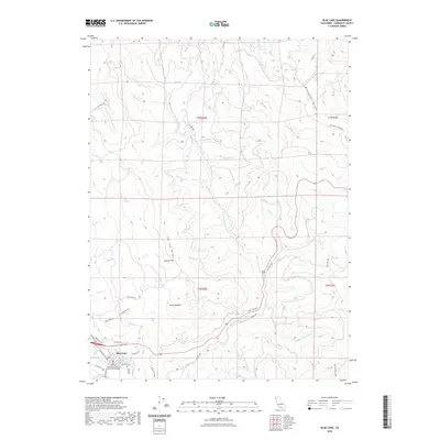
2022 Map of Blue Lake
USGS Topo · Published 2022About this map
The city of Blue Lake serves as the primary hub in this northern California landscape, where the N Fork Mad River carves through complex topography. The map illustrates a community deeply tied to its geography, featuring the Dell'Arte International School of Physical Theatre and the nearby Blue Lake Cem. To the north and east, the terrain rises sharply toward Wiregrass Ridge and Tip-Top Ridge, marked by a dense network of watercourses including Toss-up Cr and Long Prairie Cr.
Find a feature on this map
55 named features on this map. Tap any name to fly to it.
Don’t see what you’re looking for? This feature index may not catch every label — zoom into the map to look around manually.
Map Details
Editions of this 2022 Blue Lake Map
This is the sole edition of this map. No revisions or reprints were ever made.
Other maps of this area

1922 · Eureka
USGS Topo · 1:62,500

1922 · Korbel
USGS Topo · 1:62,500

1925 · Hoopa
USGS Topo · 1:125,000

1933 · Eureka
USGS Topo · 1:48,000

1942 · Eureka
USGS Topo · 1:62,500

1945 · Trinidad
USGS Topo · 1:62,500

1945 · Coyote Peak
USGS Topo · 1:62,500

1945 · Blue Lake
USGS Topo · 1:62,500

1948 · Weed
USGS Topo · 1:250,000

1949 · Eureka
USGS Topo · 1:250,000