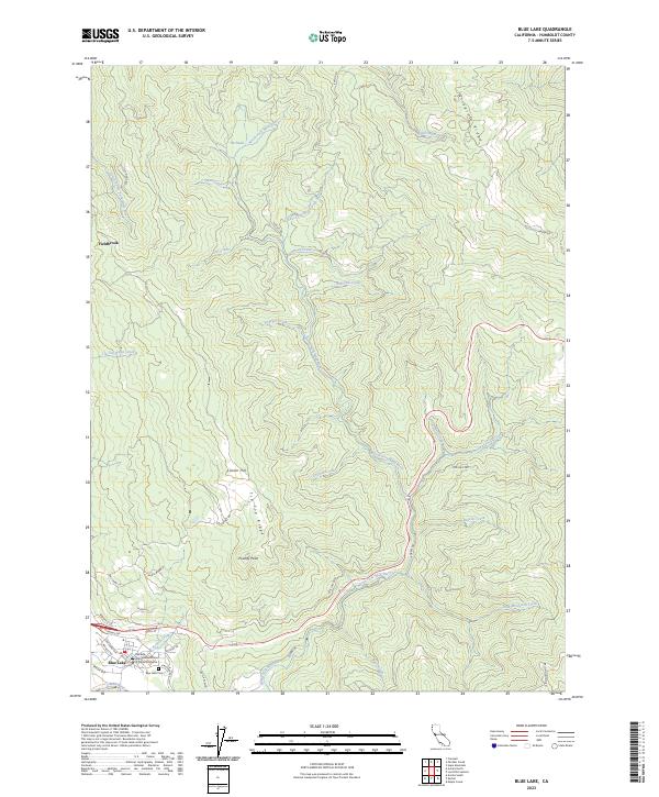
2023 Map of Blue Lake
USGS Topo · Published 2023About this map
The Mad River valley serves as the central corridor for this part of Humboldt County, where the settlement of Blue Lake is established near the river's south bank. This contemporary survey captures the transition from the town's developed streets, such as Railroad Ave and Taylor Way, to the steep forested elevations of Tip Top Ridge and Wiregrass Ridge. The presence of the Dell'Arte International School of Physical Theatre in the heart of Blue Lake highlights the unique cultural identity of this community.
Find a feature on this map
46 named features on this map. Tap any name to fly to it.
Don’t see what you’re looking for? This feature index may not catch every label — zoom into the map to look around manually.
Map Details
Editions of this 2023 Blue Lake Map
This is the sole edition of this map. No revisions or reprints were ever made.
Other maps of this area

1922 · Eureka
USGS Topo · 1:62,500

1922 · Korbel
USGS Topo · 1:62,500

1925 · Hoopa
USGS Topo · 1:125,000

1933 · Eureka
USGS Topo · 1:48,000

1942 · Eureka
USGS Topo · 1:62,500

1945 · Trinidad
USGS Topo · 1:62,500

1945 · Coyote Peak
USGS Topo · 1:62,500

1945 · Blue Lake
USGS Topo · 1:62,500

1948 · Weed
USGS Topo · 1:250,000

1949 · Eureka
USGS Topo · 1:250,000