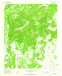
1961 Map of Blue Mesa
USGS Topo · Published 1963About this map
The Acoma Indian Reservation and the adjacent Acoma Purchase dominate this mid-century survey of the high mesa country. The landscape is defined by the sharp transition between the massive Cebollita Mesa and the deep incisions of Acoma Canyon and Cañon Largo. Water is the critical factor in this arid environment, marked by isolated points such as Spider Spring, Butterfly Spring, and the small Indian Lake.
Find a feature on this map
17 named features on this map. Tap any name to fly to it.
Don’t see what you’re looking for? This feature index may not catch every label — zoom into the map to look around manually.
Map Details
Editions of this 1961 Blue Mesa Map
2 editions found
Other maps of this area

1917 · Broom Mountain
USGS Topo · 1:125,000

1954 · Socorro
USGS Topo · 1:250,000

1958 · Socorro
USGS Topo · 1:250,000
1961 · Acoma Pueblo
USGS Topo · 1:24,000
1961 · Crow Point
USGS Topo · 1:24,000
1961 · East Mesa
USGS Topo · 1:24,000
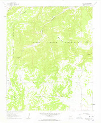
1961 · Blue Mesa
USGS Topo · 1:24,000
1961 · Laguna Honda
USGS Topo · 1:24,000
1961 · Los Pilares
USGS Topo · 1:24,000

1962 · Socorro
USGS Topo · 1:250,000