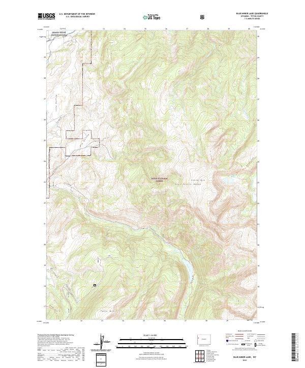
2021 Map of Blue Miner Lake
USGS Topo · Published 2021About this map
The Gros Ventre Range dominates this corner of Wyoming, where high-altitude ridges and deep drainages define the landscape. The northern boundary is marked by the Snake River Headwaters Wild and Scenic River as it enters Grand Teton National Park, while the National Elk Refuge occupies the western slopes. This area serves as a critical corridor between protected federal lands, including the Teton National Forest.
Find a feature on this map
24 named features on this map. Tap any name to fly to it.
Don’t see what you’re looking for? This feature index may not catch every label — zoom into the map to look around manually.
Map Details
Editions of this 2021 Blue Miner Lake Map
This is the sole edition of this map. No revisions or reprints were ever made.
Other maps of this area

1899 · Grand Teton
USGS Topo · 1:125,000

1901 · Grand Teton
USGS Topo · 1:125,000

1902 · Mt Leidy
USGS Topo · 1:125,000

1907 · Gros Ventre
USGS Topo · 1:125,000

1910 · Gros Ventre
USGS Topo · 1:125,000

1931 · Jackson
USGS Topo · 1:125,000

1935 · Jackson
USGS Topo · 1:125,000

1955 · Driggs
USGS Topo · 1:250,000

1958 · Driggs
USGS Topo · 1:250,000

1962 · Driggs
USGS Topo · 1:250,000